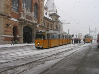
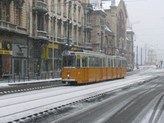
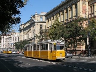
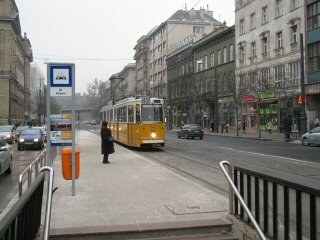
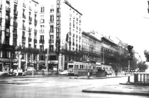
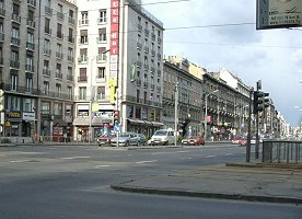
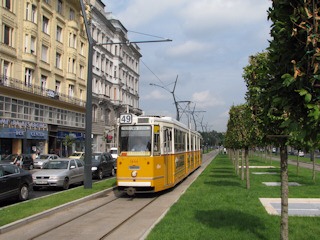
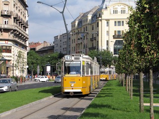
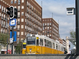
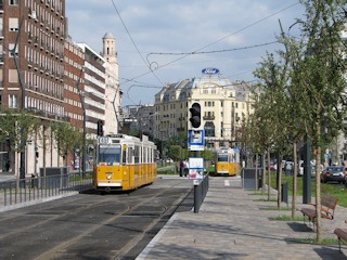
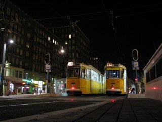
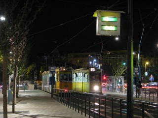
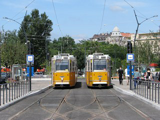
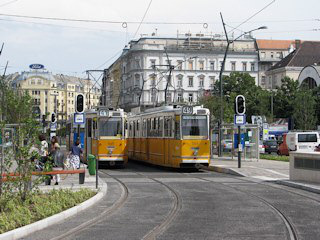
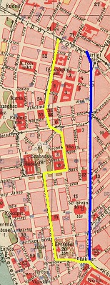
Just like "Grand Boulevard", the term "Small Boulevard" is not the real name of a street, but the collective noun for a series of streets circling the historic core of Pest. It starts at Fővám tér with Vámház körút, changes into Múzeum körút after Kálvin tér, and into Károly körút at the crossing of Dohány utca. From Deák Ferenc tér it's called Bajcsy-Zsilinszky út, and then it merges into the Grand Boulevard at Nyugati tér. Unfortunately trams only run up to Deák Ferenc tér since 1980, so that is the stretch I'm going to discuss now. On the map beneath, I marked today's tram line with yellow, and once-existing other tram connections with blue:
The
Small Boulevard in greater resolution
 This
ring road is a historic relic: it basically was a common road just outside
the city walls/moat of Pest, as built in the 15th century (there
used to be an earlier wall, but that was destroyed during the
Tatar (Mongol) invasion). The squares and junctions in today's network
of roads are where - or at least very close to where - the gates of the
city were standing: the Belgrade Gate at Fővám tér, the Kecskemét
Gate at Kálvin tér, and the Hatvan Gate at Astoria (another
gate, the Vác Gate was a bit south of today's Vörösmarty tér, but
that's not along the Small Boulevard).
A bit of history
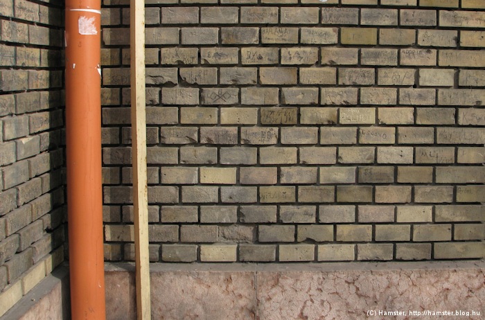
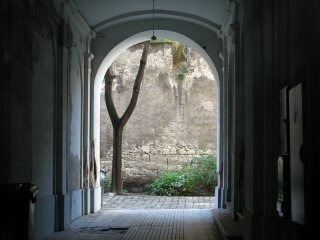
They started to tear down the walls from the 1780s, with the last bit removed in 1808. Of course the term "tear down" is not accurate: it's more like the city walls were built into the walls of new houses! That means that the rear wall of almost every house on the Small Boulevard bears remnants of the old fortifications - you might be even spot them if you get an accidental peak into the yards, just like I did when I took the picture to the right! If you want to see more of it, there's a bombsite in Bástya utca ("Bastion street" - a telling name indeed) that wasn't built in after the war, here you can see a section of the city wall in the backside of a row of houses.
But let's get back to the history of public transportation in the Small Boulevard!
The first horse tram service of the then-standalone city of Pest was launched on July 30, 1866 from today's Kálvin tér, then called Széna tér. It ran quite far, to the borders of Újpest, to where now the metro station Újpest Városkapu is. Interestingly this also shows how little the dynamics of the city has changed: the same trip can now be done with the metro line M3, albeit a bit faster, in only 16 minutes. And a bit of trivia: the outer terminus building of the horse tram still exists in Újpest - right next to the abandoned depot of the electric tram! The drawing to the left (from the early 1880s) shows Kálvin tér with some horse trams.
Next: the foundation of a transit network
But the first horse tram line was only the beginning: in 1868 another main corridor was opened, as a branch-line of the Small Boulevard routes. This was the line in Rákóczi út (called Kerepesi út then), which went to the junction of Rottenbiller utca/Fiumei út, and branched off left while heading to Városliget and right while heading to Kőbánya (the forerunner of today's tram line 28). Keleti station did not exist until 1884, but soon a straight-running extension was also built - this later became the Thököly út line. The center point of tram operations became today's Madách tér - interestingly again, the stretch between there and Baross tér is the most utilised section of today's metro line 2. By 1870, the Small Boulevard line was extended to Fővám tér, too.
Electrification came in 1896 (Nyugati tér - Madách tér) and 1897 (al the way to Fővám tér). Just one year later the electric tram line was extended to the Buda side via the newly built Szabadság híd. One of the lines going over to the other side of the Danube continued towards Déli station, where now tram line 18 runs, and another towards Kelenföld station - thus, tram line 49 was born (although it did not receive that number until later).
The heart of the network and the slow demise
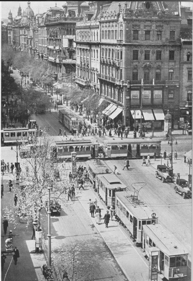
Today's Madách tér (then called Károly kaszárnya or Központi városház) was one of the busiest places then, with lots of through lines starting at one end of the city and terminating at another (for a while there was only one or two lines terminating here, most of them ran through). The Small Boulevard was part of a full ring then, so there were services circling around Buda and Pest using Szabadság híd and Margit híd. In 1930, the junction at Astoria was converted into a simple crossing, and there were no connections between the Small Boulevard and Rákóczi út/Erzsébet híd lines anymore. The tramway network reached its peak, and the Small Boulevard was "just" one of the busy corridors - but not the busiest anymore.
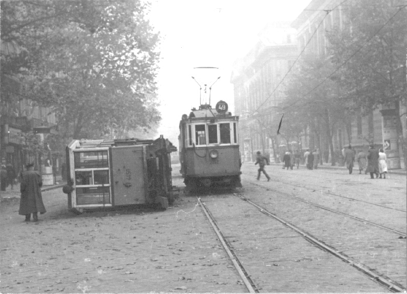
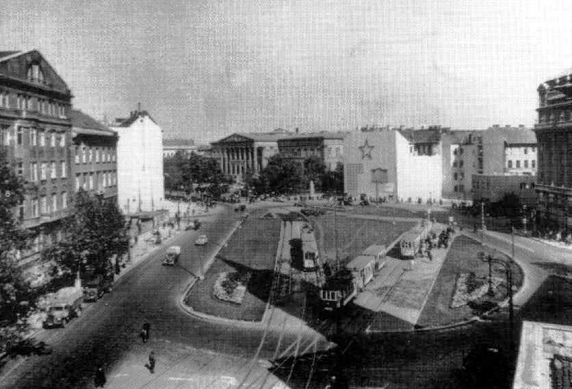
Múzeum körút during
the 1956 Revolution with pre-war trams
The Small Boulevard regained its importance again after World War 2, when the bridges were destroyed, because Erzsébet híd was reopened only as late as 1964. Some tram lines were closed during the decades afterwards, but the real death blow was metro line 3, which replaced both the Üllői út and Váci út trams, but also connected them under the inner city. In 1980, the connection between Nyugati tér and Deák Ferenc tér was removed by abandoning the tracks in Bajcsy-Zsilinszky út. Since then the Small Boulevard trams are just the inner end of two South-Buda services: route 47 and 49. The original plans of metro line4 have schemed the final closure of the section between Szent Gellért tér and Deák Ferenc tér, but then these were altered due to the outcry of pro-public transit and pro-city movements, and the tracks were rebuilt between 2006 and 2011.
![]()
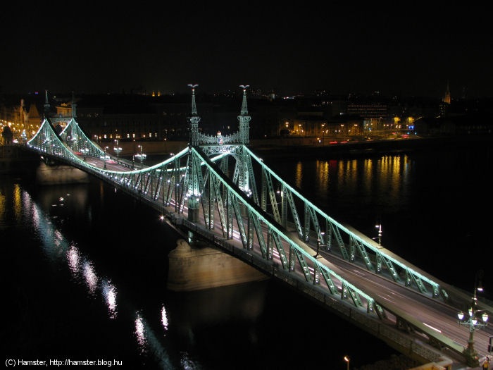
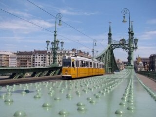
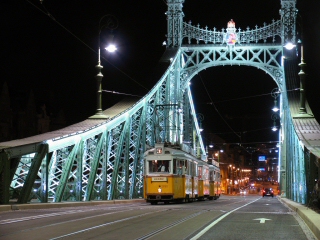
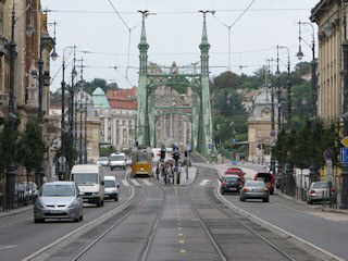
I always say that Budapest is the city of bridges, because every bridge over the Danube is of another type. Szabadság híd (Liberty Bridge) is for example a cantilever bridge, even though it looks like a suspension bridge. It was designed by János Feketeházy with Virgill Nagy, and built in 1894-96.
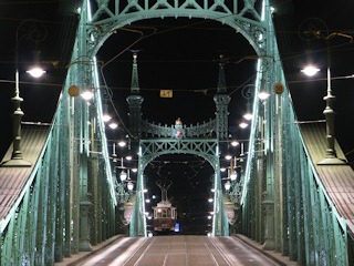
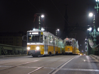
Although one of the most fragile bridges in Budapest, it survived even when it was blasted into the Danube by retreating german troops. Around 2000 it was said the delicate contruction can bear trams no more, but then after a grand renovation in 2007/8, tram service was retained. Since 2009 it's even illuminated during the night, making it a truly wonderful sight. In case you want to make photos of this, I suggest walking up the side of Gellért-hegy, which has several panorama platforms connected by paved (and lit) pathways. But beware, due to economical reasons, the floodlights of the bridge are switched of at 2300 or 2400 (and sometimes later, depending on the season or if there's a holiday)!
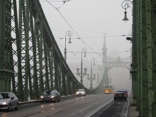
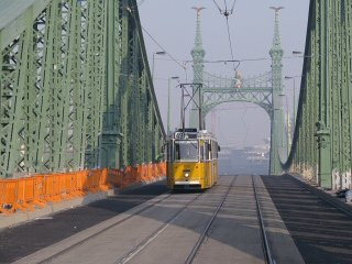
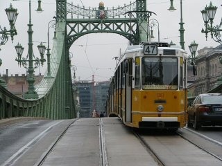
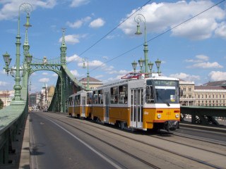
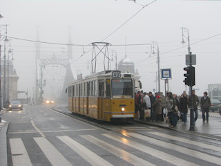
As I said, this bridge looks great from every angle, so the trams look good from every angle, too :) Of course you should always watch out for the traffic!
Old bridges go best with old trams, I think.
I know, I'm biased, but I even like this bridge while under construction or during a traffic jam!
A short video of the bridge and its trams.
The old bridge has one disadvantage: it's too narrow for modern trams - or more precisely: for wide-bodied trams AND vehicular traffic. A result of this is that no trams wider than 2.3 meters are allowed to pass the bridge in scheduled traffic, because the distance between the two trams passing by would be dangerous. With special measures (like no tram coming in the opposite direction, or no passengers on board) it can be done, though.
-> Over to Buda: Szent Gellért tér
This vicinity has the roots of its names in duties/tolls/taxes: the name Fővám ("Central Duty") refers to the central office for taxation (its building is now a university), just like the street Sóház utca, the name of which literally means "Salthouse street", referring to the taxation of salt trading. In a similar manner, "Vámház körút" can be translated to "Toll-house Circuit".
The tram stop with side platforms has been replaced with an island platform during the 2007/08 renovation, making everyday traffic more cramped. Not just for passengers having to sqeeze themselves in a smaller space, but also, the mirrors of the trams coming off and going onto the bridge can smash into each other, so drivers have to be careful there. On the other hand, the parts of the sqaure not occupied by the construction works for the metro line M4 have been also rebuilt, and are now more friendly than before (e.g. until the late 80s there was a petrol station where now the playground is). There's a staircase in the stop leading to the subsurface station of tram lines 2/2A - the elevators and escalators of the subway reach the surface on the two sides of the street.
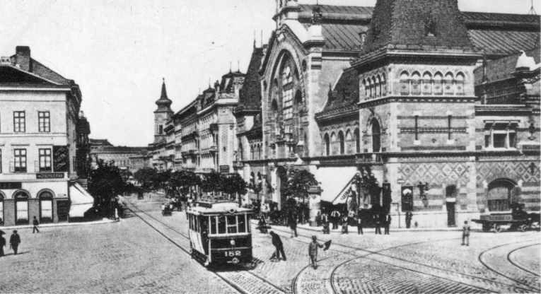
Dominating the vista is the Great Market Hall built in 1897.
|
Back in
the days when there were two tramway companies competing for the population
of the city, the BKVT has had its services routed between the Small Boulevard
and South-Pest through Lónyay utca. As you might guess, the other
company - the BVVV - also wanted to reach the inner city from south, so
they built a direct route between Boráros
tér (the endpoint of the Grand Boulevard electric tram lines) and
the city. Since the riverside was used for docking and storage, they chose
nearby streets, and arrived here in 1897 via the narrow Sóház utca located between the Market Hall and the Central Toll-house, now used by
the Corvinus University. The line was abandoned after World War 1, with
the services running here rerouted to Lónyay utca.
|
Things to see around there:
- The Great Market Hall (Nagyvásárcsarnok)
- The main building of the Corvinus University (if you can get in, apart from the nice facade, it also has a marvelous atrium)
- Váci utca, the southern - and not so posh - end of the shopping mile
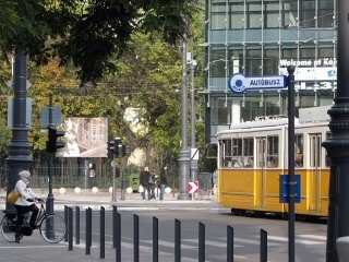
As you can see, the Small Boulevard could've been also called "Narrow Boulevard". At least now the tram tracks are separated from the cars.
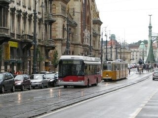
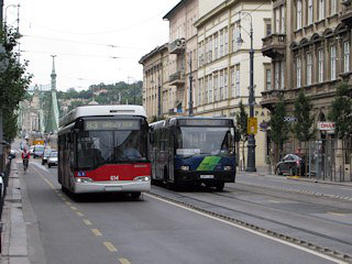
Trolley bus route 83 used to run normally - under wires - between Fővám tér and Kálvin tér, until the overhead wires had to be removed because of the contruction works of the M4 metro line. It was detoured then, but the provisional route hasn't got overhead wires: most courses are operated with battery-powered Solaris/Ganz-Transelektro/Skoda trolley buses, and some with diesel buses (if you'd like to take pictures of these wire-less trolleys, don't forget that this line doesn't run on sundays and holidays!). During congestion, trolley and normal buses share the tracks with trams, at other time sthey stroll along vehicular traffic.
|
As mentioned at Sóház utca, the company BKVT had its trams running in Lónyay utca. They started with horse trams in 1876, and then continued with electric trams in 1897. After World War 1, the BVVV line in Közraktár utca and Sóház utca was abandoned in favour of this one. During the construction works for Petőfi híd, Boráros tér was heavily remodelled, and afterwords the line reached Lónyay utca via a small detour over Közraktár utca and Bakáts utca. The "new" (current) route of tram line 2 made this path obsolete, but it remained intact for a while for periodic (special) services, until it was finally abandoned in 1953. A sole reversing/storage track remained at the mouth of the street until the 1970s, but I have no data of when that was used and when it was removed. |
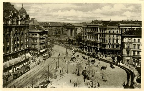
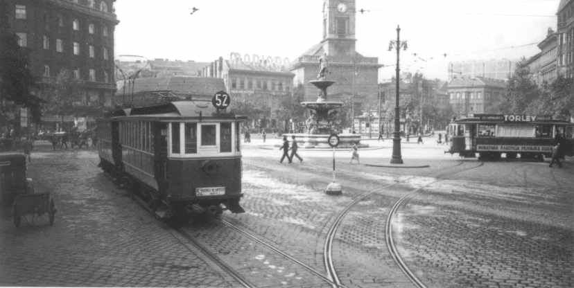
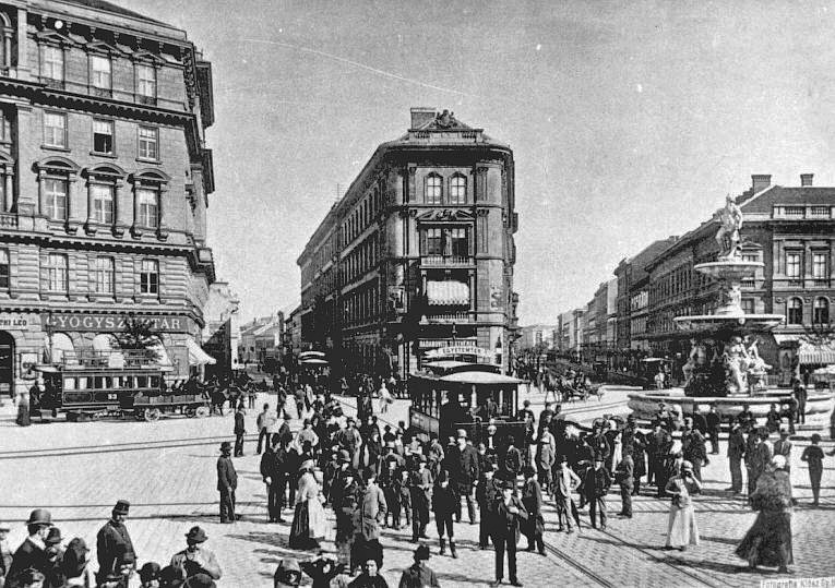
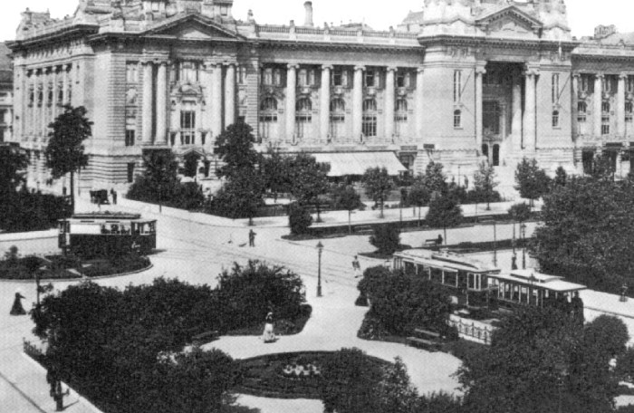
World War 2 has changed the face of Budapest in many ways, but one of the biggest loss in cityscape was at Kálvin tér. Until the 19th century, this was a market place at the gate of the city, bordered with disreputable inns, but by the 1870/80s this changed: it became a developed civic quarter with noble tenement- and business houses, and stores:
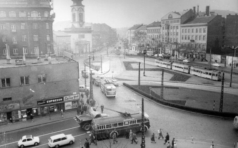
This developement was quite likely accelerated by the fact that the square was a busy transit junction, with trams from every direction. This ended when many of the buildings here were badly damaged during the siege of Budapest in 1944/45. What remained were empty bombsites and only partially restored houses:
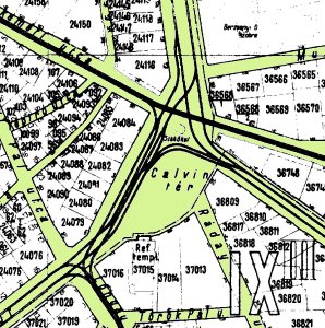
Some of the tram lines were not restored after the siege was over, for example the trams coming from Baross utca did not continue in Kecskeméti utca anymore. And in 1953, even Baross utca was robbed of its trams. As mentioned earlier, Lónyay utca was also cut off in the early 1950s. In 1973, route 63, the last route turning from Üllői út towards Fővám tér, was abandoned, and in 1976, even the remaining tram routes of Üllői út were cut back at Nagyvárad tér. This means that since the first day of 1977, trams only run through Kálvin tér, there are no turn-outs anymore.
The next three decades weren't really of a blooming kind: although by the end of the 80s two bombsites were built in, the rest was done in the 2000s - any quite poorly if I might say. Modern architecture can be fine, but this is cheap modern architecture. As of December 2011, the construction site of the M4 metro station also still spoils much of the surface.
The tram stop was rebuilt in 2007, and although some of the neighbouring streets were converted to pedestrian or traffic-eased zones, the square has still yet to find its identity.
|
The BKVT launched its horse tram service here in 1869, and then electrified it in 1897. It remained a busy "main line", especially after the separate tram and HÉV companies were merged into BSzKRt in 1923, with their disjointed services converted into through-running lines (for example, earlier the BKVT was only running to Nagyvárad tér, because the rest of Üllői út "belonged" to the HÉV (suburban railway) company BLVV, which had a partnership with BVVV - the competitor of BKVT - resulting in BLVV services routed into the city over BVVV lines running in other streets). The mouth of Üllői út was basically a triangle junction: there were tram lines turning south-west (Fővám tér) and others turning north (towards Deák Ferenc tér). This connection was torn apart in June 1976, when the subway for the metro line 3 was built, and it was never restored. The line in Baross utca (then called Stáczió utcza) was the first normal-guage electric tram in Budapest, launched on June 30, 1889. The photo underneath shows one of the first rides:
You can also see horse trams around, but those were using Üllői út for their journey to south-east Pest. As I said, the two lines were competitors, but remained even after the two companies were merged, but with different functions: the lines in Baross utca did not turn left or right, but continued straight towards Kecskeméti utca.
The first normal-gauge electric tram line did not terminate at Kálvin tér, but went further inside the inner city, to Egyetem tér. This line was extended in 1904 through narrow winding streets to reach the Danube near today's Március 15. tér. In 1914 it even received a short branch-out: a connection to Erzsébet híd - BVVV was at last allowed to reach Buda (although its services ended a few hundred meters after the bridge). These interesting lines vanished during World War 2: they were not rebuilt after the siege. The section outwards from Kálvin tér remained for a while, but then it was also closed in 1953 - and replaced by trolley bus line 74A. This trolley bus service was shut down in 1973, but then came back - at least partially - in the form of today's trolley bus line 83 (the route is not entirely the same). |
Sights to see:
-
the reformed church, which is one of the only three buldings on the sqare still loking like what we see on old paintings and photos of the square
-
Ráday utca, a street full of restaurants, pubs and cafés - it's not a tourist trap, I go here, too, gladly. Near the start there's also a bombsite which is used for the second metro construction campaign since its existence: first it served for M3 in the seventies, nowadays it serves for M4. To tell the truth, I'd rather have it built in for good ;)
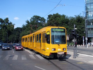
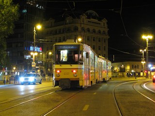
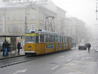
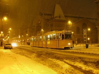
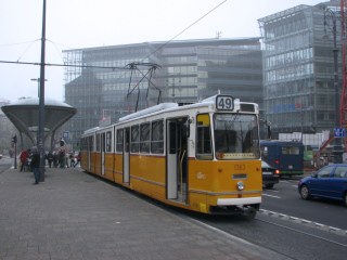
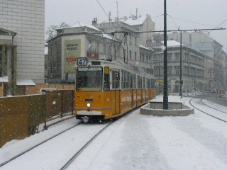
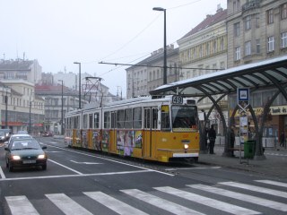
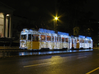
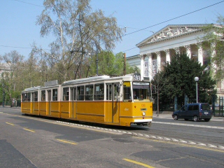
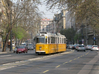
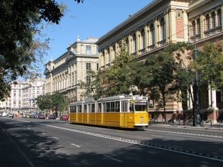
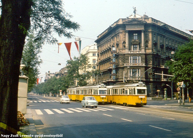
The name "Múzeum körút" refers to the Hungarian National Museum located on the east side of the street (surrounded by a garden), built in 1837-47. Note: as mentioned earlier, usually you won't see ex-Hannover TW6000 cars or Tatras here, like on the pictures above - these were special rides.
Unfortunately it's not easy to get the museum building and a tram onto the same picture (without cars between them). BTW, these pictures were taken during the renovation of the street surface, it looks better now :)
This section of the street (still) has a bit "Viennese appeal", I think. The streets around the National Museum are called "the Palace Quarter", because many noble and rich families had their city homes built here during the 19th century (Festetics, Eszterházy, Dessewffy, etc), but unfortunately they cannot be visited because they're occupied - most of the times by institutions and companies (like the Károlyi palace used by the Hungarian Radio, or the palace housing the Italian Cultural Institute since the 1930s, once home to the Hungarian Diet). Still, if you feel like it, a walk to Pollack Mihály tér via Bródy Sándor utca, and then to Szabó Ervin tér via Ötpacsirta utca can be nice. There are also interesting buildings around Mikszáth Kálmán tér and Lőrinc pap tér, but there you will also see the result of decades of neglection :(
Okay, one more "touristic plug" in form of this panorama of a block in Múzeum körút, and then we'll get right back to trams ;)
To the left: the nice brick-covered building belongs to the Eötvös Lórand University of Sciences. To the right: the inbound platform of the tram stop at Astoria.
| Letters
on the wall - messages from the past
If you take a closer look at a specific corner of the wall of the Eötvös University building, only a few meters back from the inbound stop at Astoria, you'll see lots of words scratched into the surface of the bricks. They might look like signs of vandalism, but most of them are in fact tram-related: Until the tram in Kossuth Lajos utca (going over to Buda via Erzsébet híd) was launched, Astoria was a busy T-shaped junction, with tracks for trams running through and other tracks for trams turning onto Rákóczi út. The setting of the points was done manually, by employees of the tram company BKVT, who obviously had some free time between trams. In this free time, they carved their names and the current date (between 1878 and WW1) onto the wall. They sometimes also carved the image of their signal flags and the name of the company (BKVT), and one of them even did a small portrait of himself. Of course not all stratches were done by tramway staff, there are some by soldiers, stundents, etc. There's about 140 years of history on that wall in form of scratches ! |
|
Lost rails: Rákóczi út/Kossuth Lajos utca In the intro of this page I already wrote about the Rákóczi út tram lines launched in 1868, turning the street crossing now known as Astoria into a busy T-junction. Due to a dispute between the tram companies and the city, the straight extension of these lines to Buda via Kossuth Lajos utca was only opened in 1914, although the bridge over the Danube - Erzsébet híd - was inauguated in 1903. The crossing was simplified at the end of the 1920s, leaving no track connection between these two major corridors of public transit. There were simply too many trams, and no time for turning left or right:
Although Erzsébet híd was not rebuilt right after World War 2, trams still remained in Kossuth Lajos utca. The death blow was here - as usual - the construction of metro line 2, only eight years after the bridge was rebuilt in a new form. Although the metro was unable to replace all trams on the surface, the corridor was abandoned in 1972, leaving these streets a polluted and noise mess with constant rows of buses along cars. -> Click here to see a page about the two Erzsébet híd bridges and their trams |
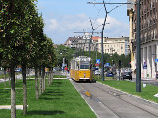
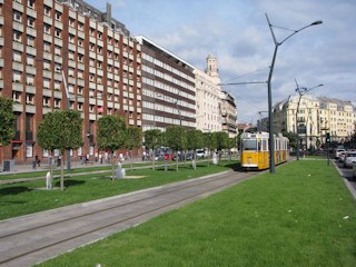
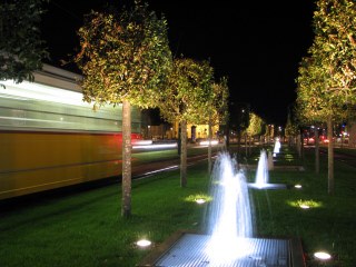
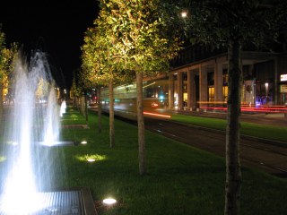
Károly körút has never had a uniform look, it was always just houses built next to other houses - and World War 2 also has left its mark on top of that. This has changed in 2010, when the stretch between Dohány utca and Deák Ferenc tér was completely reformed by taking away traffic lanes and parking places (!) and replacing them with a green strip, with a row of computer-controlled fountains in the middle. It was a surprise even for me, how the feel of the place was changed by this!
|
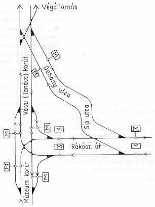
An interesting bit about the traffic at Astoria: by the first decade of the 20th century the traffic was so dense that the turnout became a bottle-neck because the conduit current collectors of trams turning (instead of going straight) had had to be changed. To solve this clogging, the BKVT wanted to build a new line, parallel to Rákóczi út, in Dohány utca. The permission to do this was not granted, but at least a short bypass was built via the first few hundred meters of Dohány utca, and Síp utca (see map). It was taken in use in 1911, but was already abandoned after the end of World War 1. |
Touristic sights: the world's fifth largest synagogue can be found at the start of Dohány utca.
Let's continue towards the terminus in Deák Ferenc tér (usually shortened to Deák tér by local people) - it's already in sight!
The row of small fountains in the middle is illuminated in the night.
I quite like this, but a video tells probably even more than words!
Deák Ferenc térAnd we're at the end of the line!
The terminus has a scissors crossover with the through tracks running a bit longer than the platform - that extra part is used for storage.
Not much has left to say, other than the facility seems a bit small for housing two busy lines, and this shows occassionally, in form of trams queueing up before the crossover.
|
These were illustrious streets, with headquarters' of banks, insurance companies, ministries and courthouses, so it must have been a different experience to ride it, than to ride a tram nowadays. Just look at the picture above, showing trams in front of the Stock Exchange at Szabadság tér! 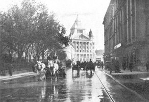 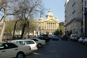
This line - apart from exploring vicinities not served by BKVT trams - was also meant as a bypass for the northern stretch of the Small Boulevard (=today's Bajcsy-Zsilinszky út), but it failed in that function, because vehicular traffic often caused disruptions in these narrow streets, making tram service unreliable. The result of this was that this line was closed in 1932, together with some other lines around Szabadság tér, originally built by the BVVV. Lost rails: Bajcsy-Zsilinszky út This stretch of the Small Boulevard between Nyugati tér and Deák Ferenc tér is badly missing from the tramway network. It was once part of the very first horse tram line from Kálvin tér to Újpest, and even if "long"-distance journeys can now be done with metro line 3 running underneath, the surface feels kind of cut off from the rest of the city. I was almost going to write "empty", but that would have been the wrong word, because the lanes are usually overpacked with cars stuck in congestion.
This stretch was abandoned in October 17, 1980, and although plans of rebuilding it surface every once in a while, I still fear this is only politicians' talk and not real planning. For example, the street itself was renovated a few years ago, without any preliminary works for the tram... |
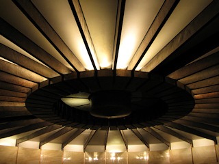
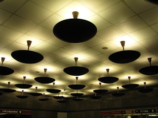
Deák Ferenc tér is the public transit center of the inner city, and if you're here on a normal tourist trip, it's quite likely that you'll be seeing some of the staff around, so I'll concentrate on public transportation when inserting another "touristic plug": the escalator halls leading to metro line 2's station from the surface have been built in an interesting post-modern style, especially the ceilings, as seen on these two photos.
|
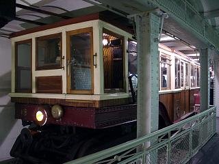
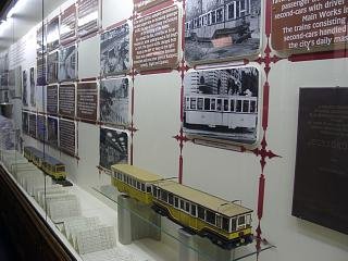
The underground railway museum In the subway (pedestrian underpass), almost straight when you go down from the tram terminus, there's a thing normally not found in an underpass: a museum. Although the location might seem strange, in reality it's a piece of the tunnel of the Kisföldalatti (Milleneum Subway, metro line 1) which was abandoned in the 1950s during a realignment, when the current station was built (at a new location, with connections to other planned metro lines). In the 1970s this abandoned tunnel was converted into a museum, with original units of the Kisföldalatti, plus lots of photos, scale models and relics. Definately worth a visit if you're into public transportation! -> Read more about this museum |
-> Continue to the Milleneum Subway (Metro line M1)
![]()
Back to the
top
Back
to the opening page
Back
to the clickable map
Disclaimer: The author cannot
be held responsible for mistakes, misinterpretations, inaccuracies, inactualities,
etc. on/of these pages, nor for the content of other pages linked in.
Archive photos and maps:
villamosok.hu, the collection of Dr. Ádám Zoltán Németh, the collection
of Zsolt Levente Nagy and my own collection
![]()
Send
a mail to the author
The
author's homepage

