Update, March 2016: The interconnected tram network in Buda was launched in January and completed in March 2016. Although there are smaller construction works still to be carried out, the tram network changed big time: routes 17, 19 and 41 are longer, there is a route 56 again after a few years of hiatus, while the line number 18 is gone, and there are new services (47B, 56A and 59B). I'll try to update every page affected by this, but it will take some time, and you might see photos and information from prior the changes for a while.
The Krisztinaváros stretch: route 18
 The
section I'm discussing here as "the Krisztinaváros branch", runs
in/along the streets Krisztina körút and Attila utca. Together
with the section to Széll Kálmán tér, and the Buda section of
the Grand Boulevard, this can be seen as the counterpart of the Small Boulevard
on this side of the Danube. An indeed, it was used as such when it was
built out: in 1898, the new electric tram line of the BKVT started from
Fővám
tér, crossed the river on Szabadság híd, turned to north there,
ran along the quay 'til today's Döbrentei tér, and then dived into
the now non-existing streets of Tabán. The terminus was Déli
pályaudvar (Déli station). A few months later the stretch was
connected to the north-Buda network of BKVT via the section between the
railway station and what's now known as Széll Kálmán tér.
The
section I'm discussing here as "the Krisztinaváros branch", runs
in/along the streets Krisztina körút and Attila utca. Together
with the section to Széll Kálmán tér, and the Buda section of
the Grand Boulevard, this can be seen as the counterpart of the Small Boulevard
on this side of the Danube. An indeed, it was used as such when it was
built out: in 1898, the new electric tram line of the BKVT started from
Fővám
tér, crossed the river on Szabadság híd, turned to north there,
ran along the quay 'til today's Döbrentei tér, and then dived into
the now non-existing streets of Tabán. The terminus was Déli
pályaudvar (Déli station). A few months later the stretch was
connected to the north-Buda network of BKVT via the section between the
railway station and what's now known as Széll Kálmán tér.
 Although
the Elisabeth Bridge
was opened in 1903, the first tram ran on it only in 1914, because the
two main tram companies have been arguing with the city council about who
should be allowed to run this new connection. At the end, the BKVT won,
but the BVVV was also allowed to operate there, although only up to Rácfürdő,
a thermal bath located just a little more than 200 meters away from the
Buda bridgehead. After the merger of the public transit companies into
BSzKRt, this awkward terminus was of course closed.
Although
the Elisabeth Bridge
was opened in 1903, the first tram ran on it only in 1914, because the
two main tram companies have been arguing with the city council about who
should be allowed to run this new connection. At the end, the BKVT won,
but the BVVV was also allowed to operate there, although only up to Rácfürdő,
a thermal bath located just a little more than 200 meters away from the
Buda bridgehead. After the merger of the public transit companies into
BSzKRt, this awkward terminus was of course closed.
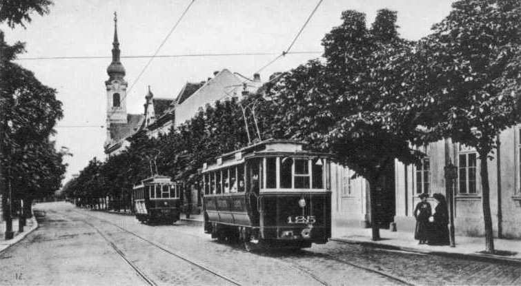
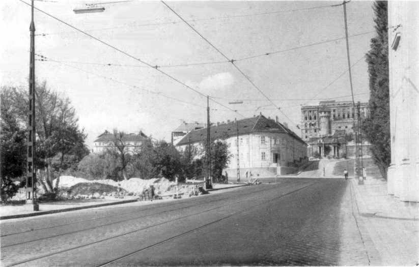
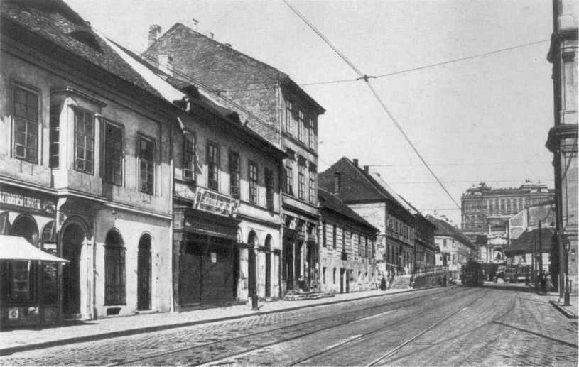
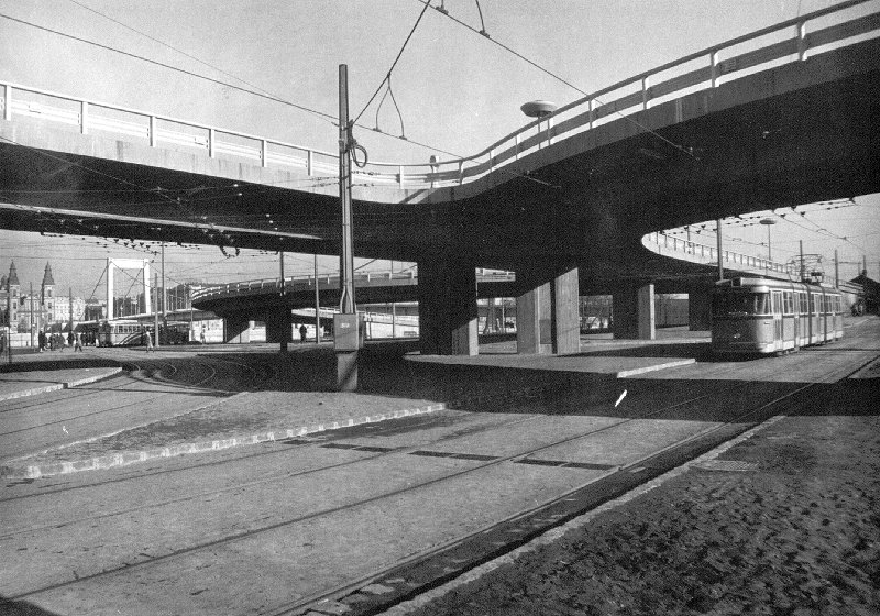
Tabán, the old village between the Castle Hill and St. Gellert's Hill was knocked down in the 1920s and 30s, but the tram routes stayed on the same path even after the majority of the houses have dissappeared (see photos on the right). This changed when the new Elisabeth Bridge was complete in 1964: trams received a private right-of-way in the park parallel to the old stretch. There were many routes running here until the M2 metro line was opened, but only tram 18 remained.
Here's a Google Map map of the stretch:
View
Larger Map
![]()
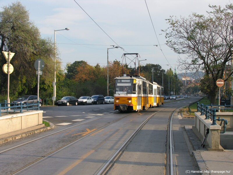
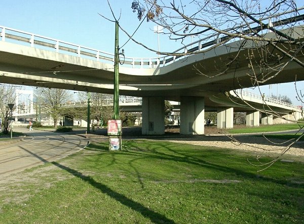
The junction at Déli pályaudvar
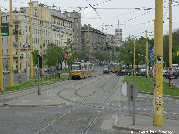
This is where route 18 and 59/61 part ways/join together. There's an extra "pre-selector" track for the trams heading for the Krisztinaváros strech, and this is nicely photographable from the traffic islands. Other perspectives are however hard to catch because of the car traffic coming from all possible directions.
-> To the joint section of routes 18, 59 and 61 between Déli and Széll Kálmán tér
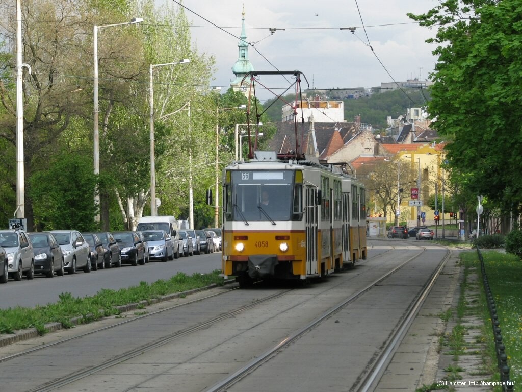
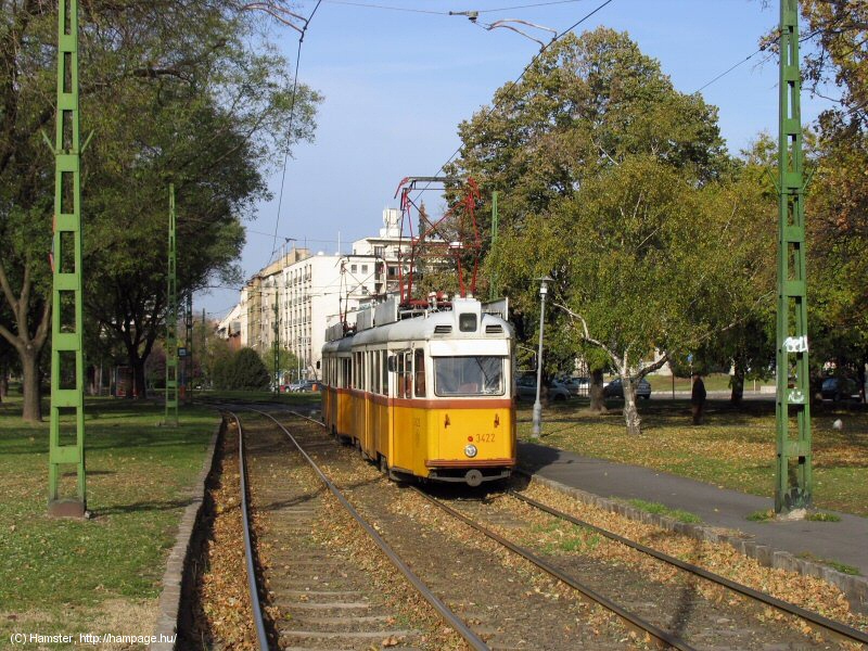
Although the section from Széll Kálmán tér to Déli is already part of Krisztina körút, most people in Budapest think of Krisztina körút only as the street between Déli pályaudvar and Erzsébet híd. This strech was partly renovated around 1998-99, and is therefore in a good condition.
Although the Castle District above could make a wonderful background, it's almost impossible to get it onto the same photo with a tram: the angles and lights just don't work out...
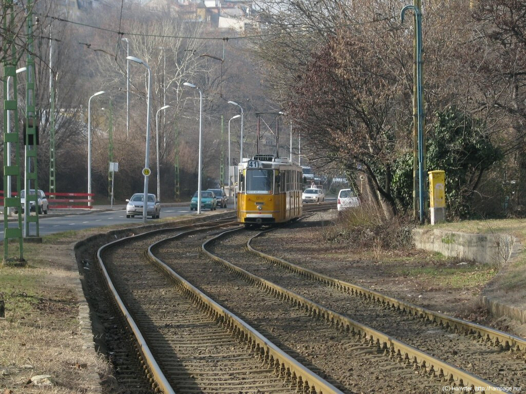
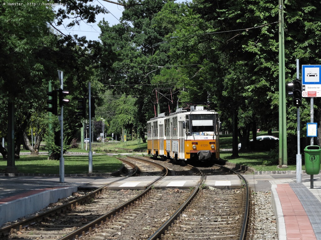
After the Mikó utca stop comes a section still sporting the old "concrete panel with block rails"-type trackage. And since the street becomes narrow here, trams share the street surface with motorists, resulting in poor track conditions and slow speeds.
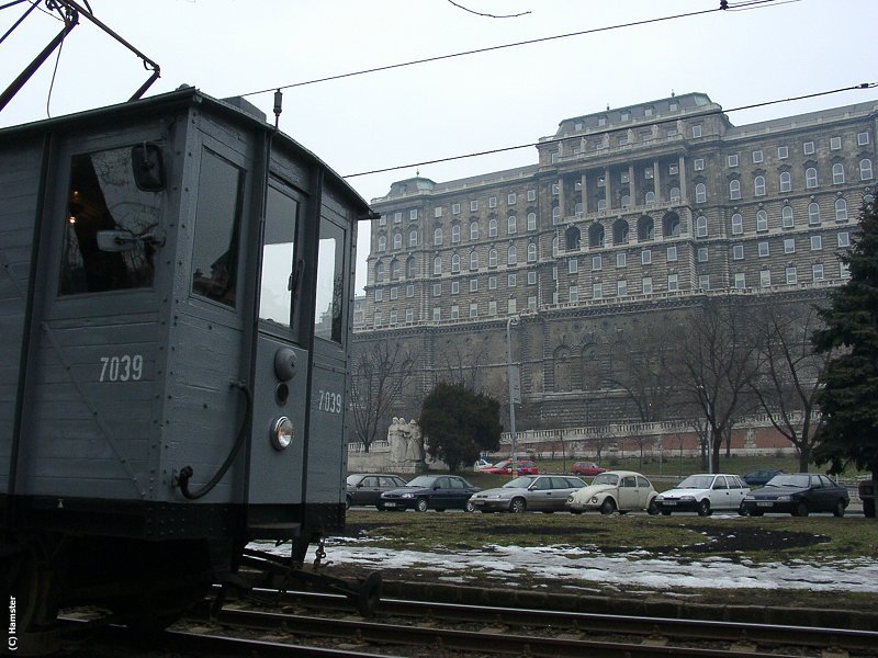
After that we arrive to a park. The view here is dominated by the rear facade of the Royal Palace.
Hint: You can use the public elevator near the stop Dózsa György tér to get up to the Palace. Although the palace itself was severely damaged (burnt out) at the end of WW2, it's still wonderful. And the mostly baroque Castle District is also well worth a stroll!
There's a crossover between Szarvas tér and Dózsa György tér, which is used during temporary shortenings.
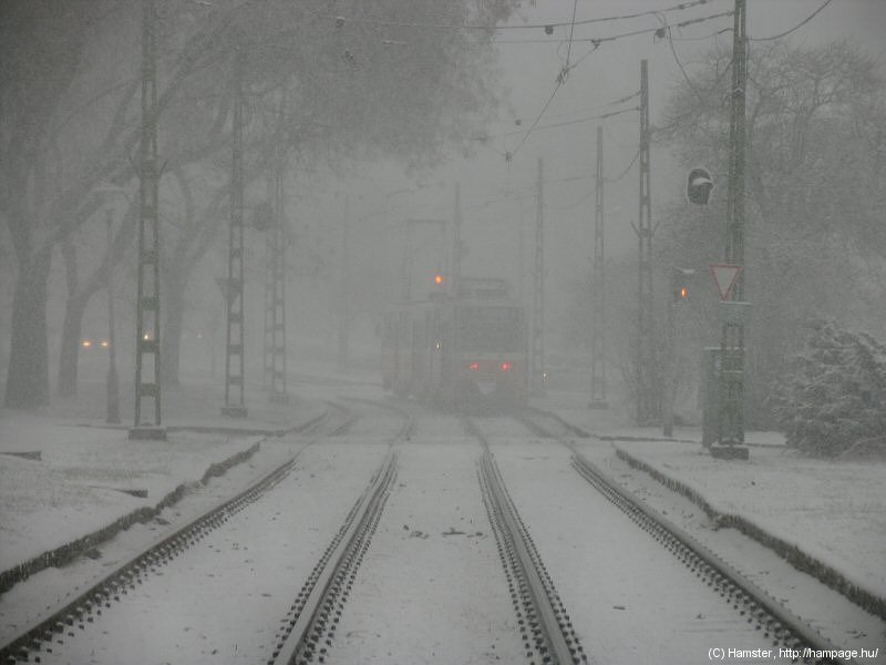
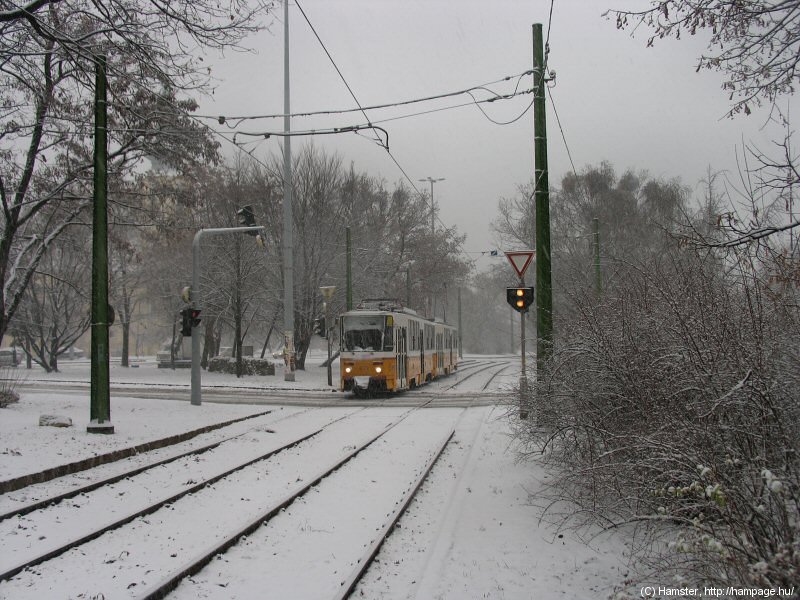
After the sunny photos, two pictures taken in the winter.

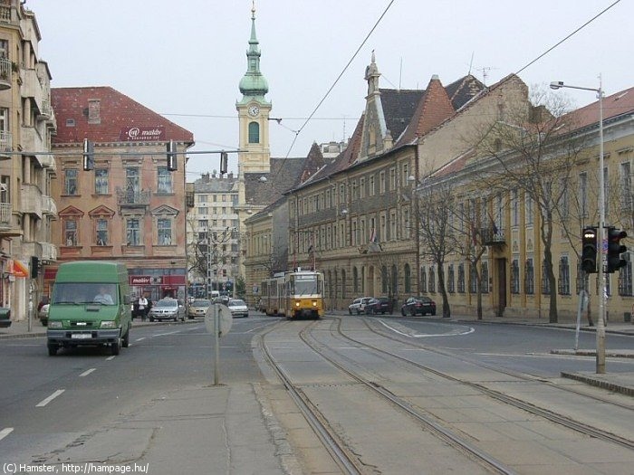
The stop Döbrentei tér used to be closer to the actual Döbrentei tér (a square). In 2015 it was moved towards the freshly renovated Castle Bazaar, plus a new, joint stop with routes 19/41 was build at Rudas fürdő, just below the Elisabeth Bridge.
This is where trams turn towards the Danube nowadays. Earlier this used to be a big triangular junction with tracks leading up to the Elisabeth Bridge: Now there's only one way to go: towards the quay:
-> Continue on the joint section along the Danube
![]()
Back to the
top
Back
to the opening page
Back
to the clickable map
Disclaimer: The author cannot
be held responsible for mistakes, misinterpretations, inaccuracies, inactualities,
etc. on/of these pages, nor for the content of other pages linked in.
![]()
Send
a mail to the author
The
author's homepage