Latest update: 28. March, 2009.
Route 69 + 62/62A
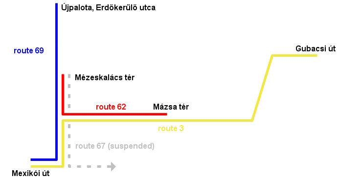
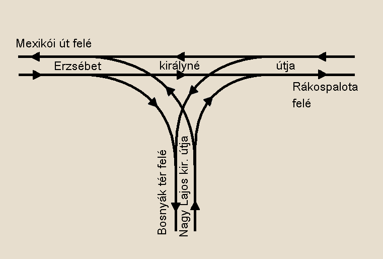
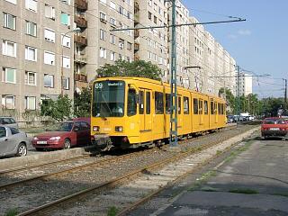
Between the Mexikói út terminus and the Nagy Lajos király útja triangle junction, route 69 shares tracks with route 3. From then on to Rákospalota, MÁV-telep, it's joined by route 62. On this page, I only discuss the route between Nagy Lajos király útja and Újpest, Erdőkerülő utca - the previous stretch can be find on route 3's page.
This service was launched on July 29. 1973 - a more detailed historical lookback can be found here.
Here's a Google
Maps overview of the vicinity:
Enlarge
map
Route 69: Mexikói út (Kacsóh Pongrác út) - Mexikói út - Erzsébet királyné útja - Kolozsvár utca - Besenyő park (Rákospalota, MÁV-telep) - Bánkút utca - Páskomliget utca - Nyírpalota út - Zsókavár utca - Újpalota, Erdőkerülő utca (6.5 km)
Vehicles: 11 x TW6000
Depot: Zugló
Timetable of route 69 on the BKV website
![]()
Forward -> On via Erzsébet királyné útja to Újpalota, Erdőkerülő utca
Antecedent -> Route
69 between Mexikói út and the Nagy Lajos király útja junction
Diverge -> Route
62 between Nagy Lajos király útja and Mázsa tér
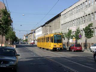
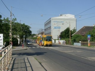
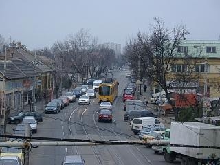
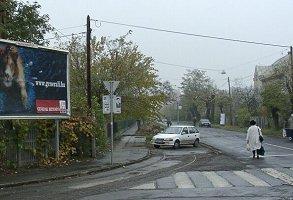
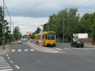
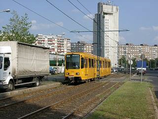
Although this part of Zugló is like a small village with more garden houses and less mansions, the section which comes here, is more urban, though in a worn-out way.
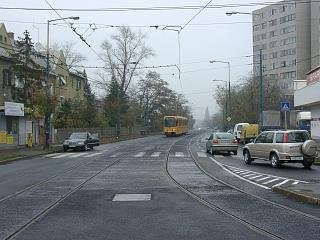
To the left: a series of factory buildings - probably the last sign of any industrial activities around here. To the right: tenement houses a few hundred meters further.
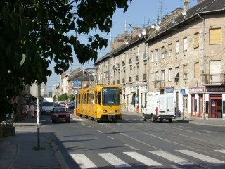
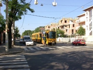
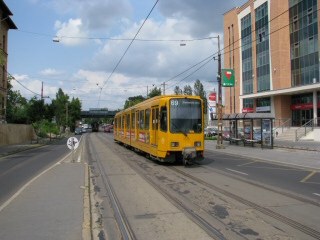
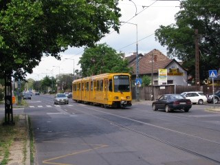
The bridge over the runnel Rákospatak (left) brings a slight change: although you will still see a few office buildings and small mills, the area turns into a more residential one, with new condos being built instead of the old, delapidated tenements (right).
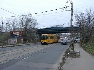
The railway underpass is where district 14 (Zugló) ends, and district 15 (Rákospalota, Pestújhely) starts.
We will run the next 800 meters in Kolozsvár utca - not to be mistaken with Kolozsvári utca, where route 37 runs quite a few kilometers away.
This neighbourhood used to belong to the separate village Rákospalota until 1950, so it's a bit bucolic (left) until we arrive (right) to:
Rákospalota, MÁV-Telep / Mézeskalács tér
This place is known as MÁV-telep ("MÁV estates"), because it was built right next to the housing area of the state railway company MÁV. Between 2001 and 2008 the terminus was called Mézeskalács tér, but then it was renamed.
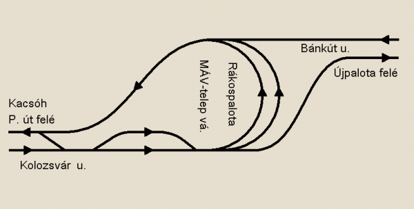
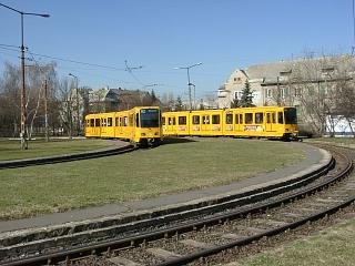
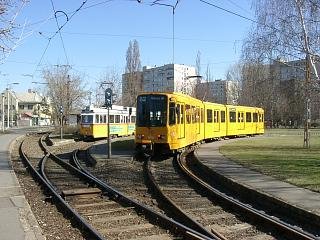
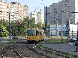
Tram 62 turns back here, while 69 runs further on via Bánkút utca.
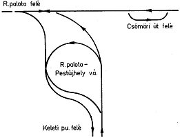
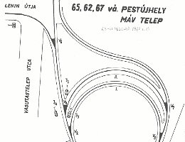
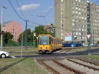
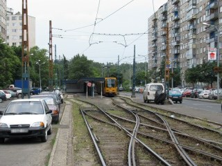
The double reversing loop layout was originally built for route 62 and the now non-existing route 67, so it now looks a bit oversized. Contrary to most tram termini, this one is built with "big railway"-like points and light signals, remotely controlled from the booth at the inbound platform.
The actual tram stop is before the loop, where there's also another track, relatively rarely used (e.g. for the storage of broken-down trams). Then there's the turnout for the two reversing tracks.
On the other side of the park, the reversing tracks join the inbound track of route 69.
Route 69 doesn't enther the loops, but
goes 'round the park on a third track.
Now we're on the new section, opened in 1973.
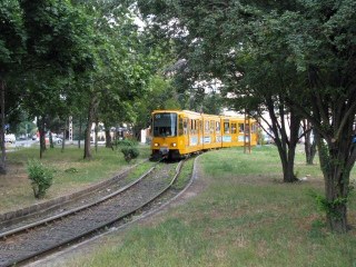
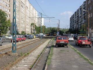
The small-village mood remains after we leave the high-rise housing area.
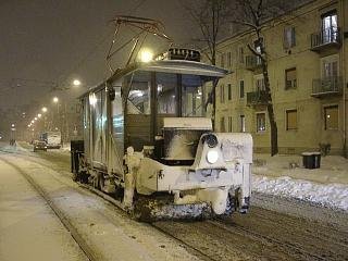
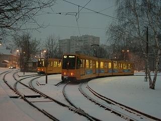
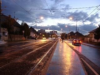
Depending on the weather, this stretch can be both relaxing and austere.
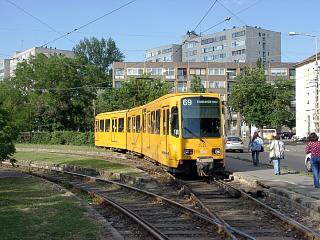
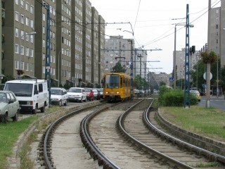
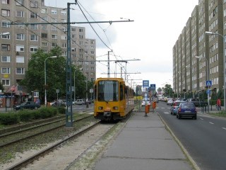
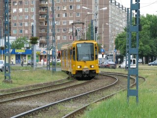
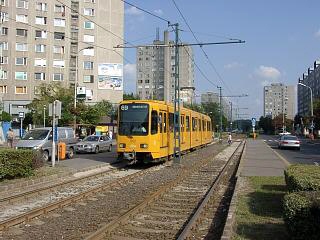
Soon we reach the Újpalota housing area, one of the largest such housing area in Pest. This place is a high-rise concrete settlement, but at least it's got its own tram line, while most such estates in the city didn't get any kind of rail-bound mass transit.
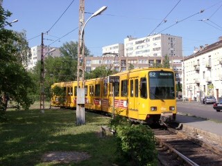
It's basically what you can find in most "eastern bloc" countries, only here you will see ex-West German TW6000 trams instead of the typical "eastern bloc tram", the Tatra :)
After two stops we reach the spinal road of the area, where for a short distance, we turn back towards the inner city. It's a mistery to me why they didn't extended the now-abandoned tram line 44 from Rákospatak to here instead of taking such a roundabout route!
Anyway, this section is really short, and soon we make another turn to:
Zsókavár utca is the twin sister of Páskomliget utca, with the same ambience (read: dreariness). There's not much to say about these streets, really.
The terminus has a scissors crossover, with a middle platform:
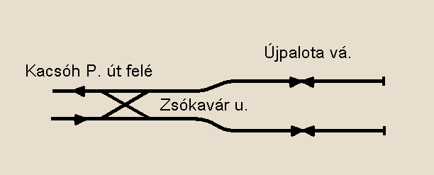
Map (C) Mr. Balázs Fejes
Interestingly, the platform has a roof, which is not at all a common feature on the Budapest tram system! There were plans to extend the housing area further along this street, but they weren't realised, so it looks liek if it was the end of the city, but it's not.
![]()
Back to the
top
Back
to the opening page
Back
to the clickable map
Disclaimer: The author cannot
be held responsible for mistakes, misinterpretations, inaccuracies, inactualities,
etc. on/of these pages, nor for the content of other pages linked in.
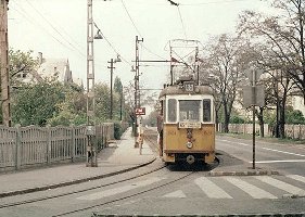
Archive photo: from the
collection of Dr. Zoltán Ádám
Track layout drawings: FVV,
BKV (collection of Dr. Zoltán Ádám Németh), Fejes Balázs
![]()
Send
a mail to the author
The
author's homepage
