Latest update: 30. January, 2012
Route 42
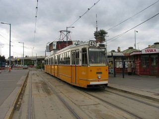
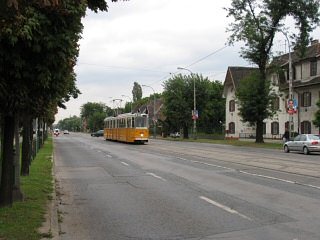
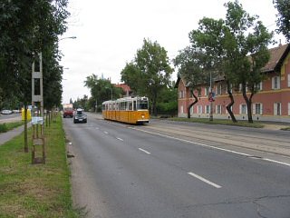
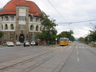
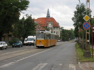
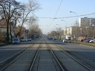
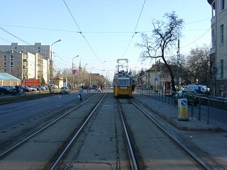
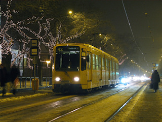
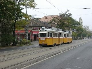
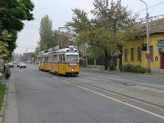
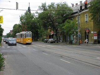
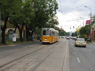
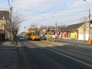
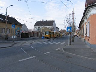
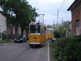
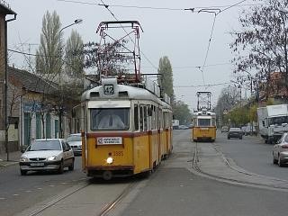
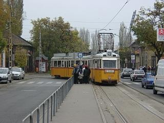
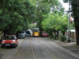
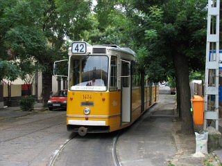
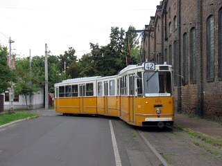
This one's probably the shortest and - at least for riding experience - most boring tram line in Budapest, with a journey time of only 10 minutes. Yet, the mixture of old small-village like estates and modern high-rise housing areas provide some good photo opportunities.
Update: UV
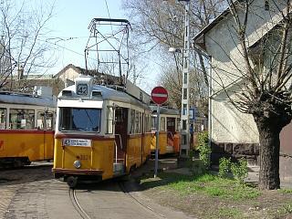
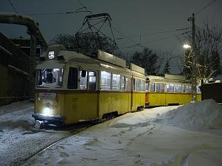
operation ended on 31. July 2006. Since then the line has been using Ganz
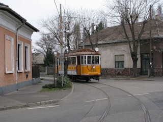
articulated trams. Most photos on this page however will show you the old
trams.
Update #2: The reversing
loop on the outer end was abandoned in September 2006. Instead a one-track
stub terminus was built, with the connection to Hofherr Albert utca
(and thus to route 50) retained via Tulipán utca.
Update #3: Since May 2011, the line operates solely with TW6000 cars instead of the earlier mixture of Ganz cars on weekdays and TW6000 on weekends.
The "Budapest-Szt.Lőrinczi helyi érdekű Vasút" has operated a 760-mm-gauge steam-hauled suburban railway since 1887 between a brick-yard in Pestszentlőrinc and Nagyvárad tér. They extended, re-gauged and electrified the line by 1900. Also in that year, they opened a branch-line in today's Ady Endre utca - a line which is now known as route 42. The area just started to get built in with relatively inexpensive houses at the time, so the population (mostly workers) grew, making the line profitable, thus a second track was laid in 1910-12.
Although this line remained a side-line of the main line (today's tram 50), some very important commuter services have started here, running deep into the city, e.g. to the Grand Boulevard, but sometimes even to Móricz Zsigmond körtér on the other side of the Danube. In 1980, when the M3 metro line's southern section was complete, the line got cut back to its current length.
![]()
Here's a Google Maps overview of the vicinity, where this tram runs - look for "Ady Endre út":
Route 42: Kispest, Határ út - Ady Endre út - Tulipán utca (2.7 km)
Vehicles: 3 x TW6000 (from remise Száva)
Special remark: A straight line running in just one street with housing areas on both sides. Since the journey time is short, you will only see 2 or 3 units rotating on the line, so if you're a hunter for fleet numbers, this is definately not your place :-)
Stops and time-table at the BKV website
![]()
Kispest, Határ út (M3 Metro station)
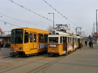
This service has a joint terminus with tram line 52, with a photogenic scissors crossover. One of the terminal tracks is also the connection to the nearby depot Száva (the other one is stub). The connecting one to the depot is where route 3's TW6000's are passing through while going to their route, so you can catch these if you're lucky. Route 50 also has its terminus on this square (which isn't really a square just a big flat place with termini for lots of buses and some trams around an underpass which leads to the metro station), but on the opposite side of the place.
-> Continue to route 52
-> Continue to route
50
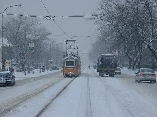
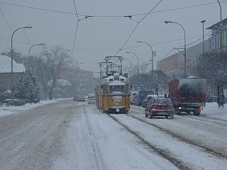
Starting from the terminus, after the turnout of route 52, tram 42 starts its bit unswerving ride towards the south-east.
One one side you can find the Wekerle Settlement, a huge housing estate built in the 1910/1920's with very strict and characteristic architectual schemes. Originally they even wanted to get the tram in there, but this was cancelled later.
A nice example of the interesting architectural style used by some of the planners of the Wekerle settlement is the district police station seen to the left above.
On the other side you will find the typical communist-type housing "silos", although most of them are smaller than the real ugly high-rise things.
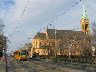
Templom tér ("Church square" - with three different churches) might be one of the places where you can have a decorative background for a photo.
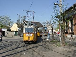
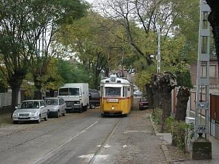
After a while the larger houses disappear, and we arrive in a small village with mostly one-story buildings.
Some of these houses are the same ever since the tram (then a suburban railway) was built more than hundred years ago.
The line ends quite abruptly in a single-track terminus...
... but t he rails don't end here, they turn into Tulipán utca.
Earlier this used to be the start of a block-encircling reversing loop (see below), now it's only used for the connection to route 50 (and for chartered rides).
![]()
Back to the top
Back to the
opening page
Back
to the clickable map
Disclaimer: The author cannot
be held responsible for mistakes, misinterpretations, inaccuracies, inactualities,
etc. on/of these pages, nor for the content of other pages linked in.
![]()
Send
a mail to the author
The
author's homepage
