Tram-hiker's
guide to Budapest
Latest update: 20. January, 2016
![]()
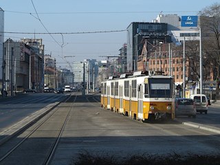
Route 1 is an often neglected, but important building block of Budapest's tram network. It's basically a ring-route on the outer rim of the inner city, connecting radial services like metro (underground lines), HÉV (suburban railway), bus, trolley bus and tram lines. Here's a Google Maps overview of the route - the circular shape can be very nicely seen:
Tram
route 1 in larger resolution
Yellow marks the "original" route, red is the extension to Fehérvári út opened in 2015, and brown is the possible future extension to Kelenföld vasútállomás M.
Although the number "1" suggests a long history, it's one of the newest tram lines in Budapest: its first section (Bécsi út - Lehel utca) was opened in 1984, partially using tram 33's route, but with newly built tracks and stops. The next few sections (Lehel utca - Kacsóh Pongrác út in '87, Kacsóh Pongrác út - Thököly út in '90, Thököly út - Kerepesi út in '93) were brand new - the tram was built together with the road surface (although the ring street known as the Hungária Ring, consisting of Róbert Károly körút, Hungária körút and Könyves Kálmán körút was proposed more than hundred years ago, realisation only started in the 1980's. Before the construction of this wide ring, these streets were more narrow, and public transit was mostly done by bus line 55 and trolley bus line 75). The next section (Kerepesi út - Salgótarjáni utca in 1995) was where route 38 ran until 1970, but the trackage was newly laid here, too. The next section was inaugurated in 2000, incorporating a new underpass under state railway lines, brand new tracks and the re-used path of route 23 (which was abandoned in turn). The latest addition to Fehérvári út / Hengermalom út was opened on March 20, 2015, and the planning of the last missing piece to Kelenföld vasútállomás M is already on its way.
Remark: Route 1 was largely remodelled in 2013-15 (before the extension was opened), but some photos on this page still depict the "before" state. That's because I simply did not have the time to re-photograph everything - the more important changes were incorporated, though.
Route 1: Bécsi út / Vörösvári út - Vörösvári út - Flórián tér - Árpád híd - Róbert Károly körút - Hungária körút - Könyves Kálmán körút - Közvágóhíd - Rákóczi híd - Szerémi út - Hengermalom út - Etele út / Fehérvári út - 16.6 km
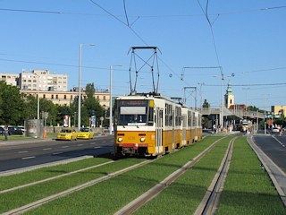
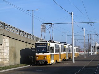
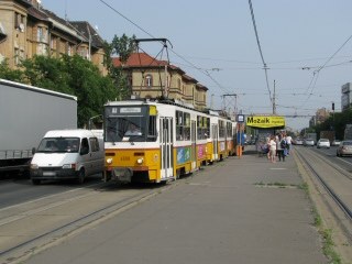
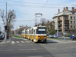
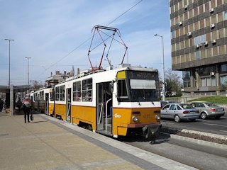
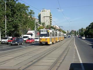
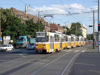
Vehicles: 33 x T5C5/T5C5K
triple-set
Home depot: Angyalföld,
Baross
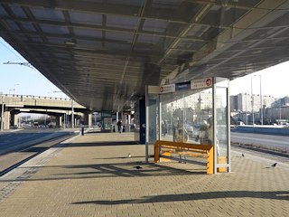
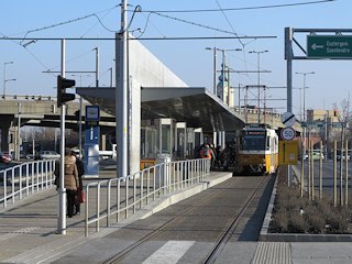
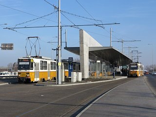
Remark: Because the stops here are built with long platform aisles, and for vehicles with a width of 2500 mm, this is where all tram types and multiple unit configurations can be used: trial runs and driving schools often take advantage of this.
The "lay-in" service 1A (Bécsi út / Vörösvári út - Népliget M) was abandoned with the extension to Etele út / Fehérvári út, all workings are doing the entire route now (with the exception of depot runs, of course).
![]()
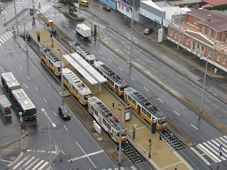
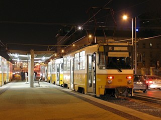
The terminal complex of route 1 and 17 was built in the early eighties as an ambitious project. The switches and safety devices were designed for a "high-speed", high-capacity operation in modern LRT manner. Then years of disrepair came, and now the whole setup is a bit of a mess - at least in my opinion. The tracks and platforms were rebuilt in 2013-14 though, so it's not that bad anymore. Since 2016, the terminus of route 17 is also used by the routes 19 and 41, which is a bit too much for those two tracks, so the shorter connecting track is sometimes used for reversing.
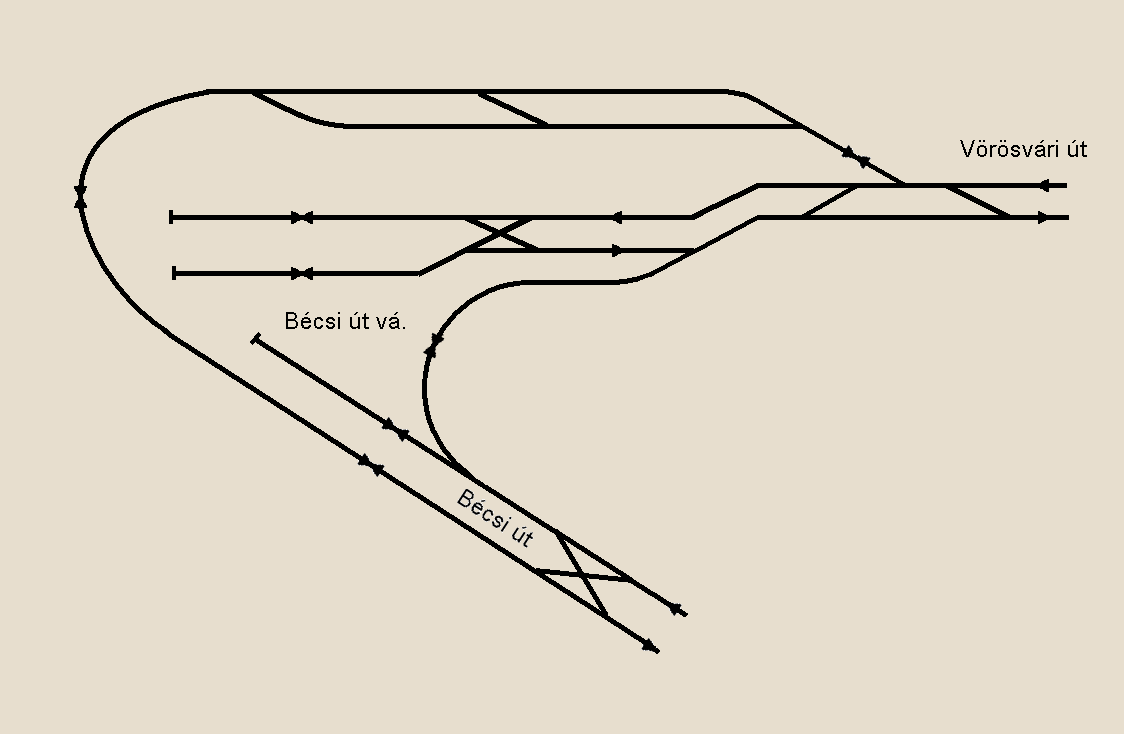
Track layout (C) by Balázs
Fejes, from villamosok.hu
Generally, route 1 runs in Vörösvári út, route 17, 19 and 41 run in Bécsi út. The two termini are connected by a single track starting from a side-track in front of route 1's stub endpoint. There's also a reserve area on the other side of Vörösvári út, which is also connected to route 17 by another track.
-> Over to route 17, 19 and 41
The existence of such a large reserve area might seem strange, but until 1997 there was a tram depot here (remise Óbuda), and these tracks were used for shunting in and out of the depot. This area is approachable on a single turnout before the terminus.
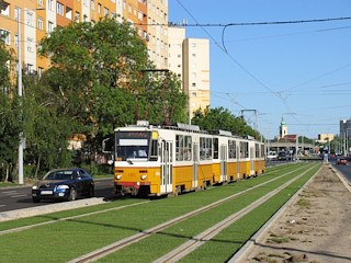
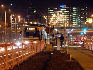
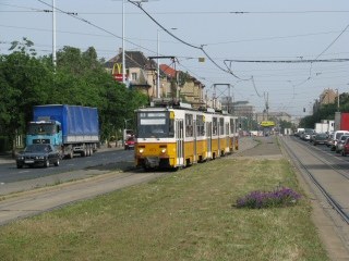
The first section of route 1 runs through a typical communist-era housing area, with high-rise concrete panel buildings. The new grass-covered tracks are certainly a welcome addition to the picture!
The pedestrian underpass at the Flórián tér stop might bring some surprise: when you go down there, you will find the ruins of an ancient roman spa inside! Óbuda was known as the roman village Aquincum 1900 years ago. Everywhere you look here, you will find memories of roman history and architecture like aquaducts, ruins of two amphiteatrums, remnants of a civic town, decoration, mosaic floor-tile, etc.
From here the tracks start to climp upwards to Árpád híd (Árpád Bridge).
They started to build this bridge before the second world war, but it was only completed in 1950 - in the early years it was even called the Stalin Bridge in the typical manner of that era. Now it's named after the leader of the hungarian tribes, who had lead his people into the Carpathian Basin in 895AD.
At the stop on the Buda-side bridgehead, Szentlélek tér H, you can change to the Szentendre HÉV (suburban railway) line. This is the one that'll take you to the Urban Transportation Museum in Szentendre. For information about opening times, see the official web page of the museum!
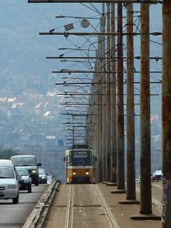
The bridge is quite long (almost 1 km), passing over two islands of the Danube: Margit-sziget and Óbudai-(or Hajógyári-)sziget, where every year the Sziget Festival takes place. It's really hard to make decent tram photos on the bridge, because the tram runs between 2x3 traffic lanes, with overhead masts in the middle. Instead fo tramspotting you should take a walk here on Margit-sziget, it's really a nice place with large parks, ancient runs, a miniature zoo, public baths and sport facilities! Although there's no tram stop at the island exit nowadays - there used to be one until 1981 (of course for route 33).
At the crossing of Váci út you can change to the metro line M3 at the stop Árpád híd M, but of course you won't do that, because this is a guide for tram enthusiasts and not underground enthusiasts ;)
Róbert Károly (Caroberto) was King of Hungary in the 14th century. He was a descendant of the Anjou-house of Naples, who turned Hungary into a strong monarchy after battling with all the rivalling landlords. He was also who (first) had introduced the forint (florentinus -> florin -> forint) as the national legal tender in 1325, upon the example of the golden coins minted in Florence, Italy.
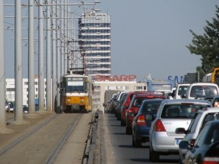
As for the street, this used to be a suburban kind of place with many hospitals, but it's now slowly turning into a more metropolitan area. Of course the huge car traffic is not a great help in this process - who wants to live or work right next to an urban highway?
At Lehel utca we cross the ways of tram route 14. There's a two-way connection to those tracks, although only used by depot runs (seen to the right).
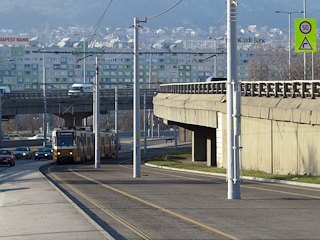
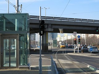
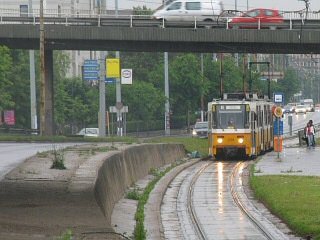
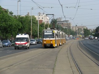
After a while, the road and the tracks go over railway lines via a flyover bridge, with the stop Vágány utca/Róbert Károly körút located on the ramp of the bridge (as seen to the right).
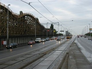
Next to the bridge you can see the large wooden roller-coaster of the city amusement park (Vidám Park) - now part of the Zoo. Despite the elderly look and the more modern ones right next to it, this roller-coaster is regularly maintained, and still in use.
The terminus of the Milleneum Subway Line and tram routes 3 and 69 are only a few hundred meters away from here. There are no direct connections though, because on the surface there's a busy railway line in the way, while under the ground the tunnel of the Milleneum Subway hinders the construction of a sensible underpass.
If you alight at the stop Erzsébet királyné útja, aluljáró, you can change to trolley bus line 70, and/or go to the City Park (Városliget). Tram route 3 and 69, on the other side of a railway line, accessible via a small pedestrian subway, is also not far away.
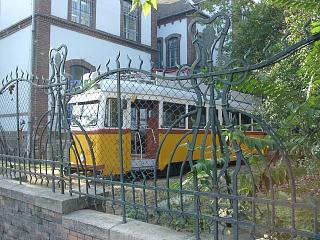
Between the stops Ajtósi Dürer sor and Thököly út, you can spot a UV tramcar in a garden. This is the schoolyard of the Institute for the Blind and Visually Impaired, where they're using this vehicle to train blind children how to use public transportation.
After Zugló vasútállomás (Thököly út) the route gets not-so-nice again. It depends on the size of the traffic congestion if you can make pictures here, but I suggest to skip this part, unless you're interested in trolley buses: line 77 crosses the tram at the stop Egressy út/Hungária körút.
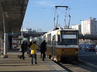
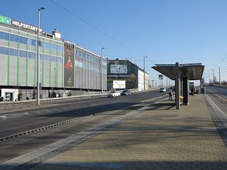
After a while we arrive to the stop Puskás Ferenc Stadion M. This is where a large event hall, a subway station for the metro line M2, a number of bus and trolley bus termini, and a station for country-side coach services are located.
Next page: click here to continue
![]()
Back to the
top
Back
to the opening page
Back
to the clickable map
Disclaimer: The author cannot
be held responsible for mistakes, misinterpretations, inaccuracies, inactualities,
etc. on/of these pages, nor for the content of other pages linked in.
![]()
Send
a mail to the author
The
author's homepage
