Tram-hiker's
guide to Budapest
Latest update: 2. July,
2016
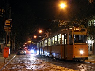
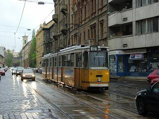
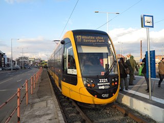
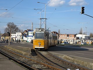
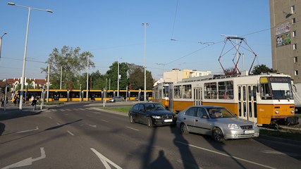
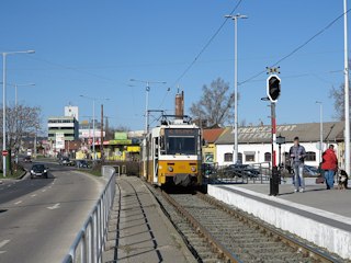
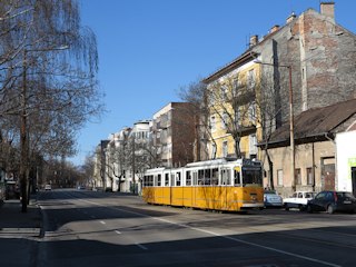
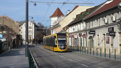
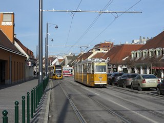
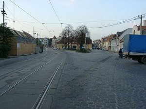
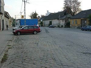
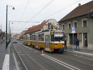
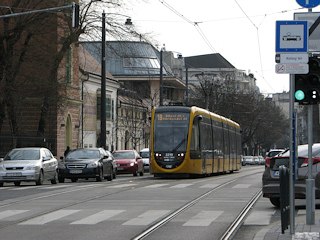
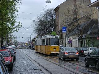
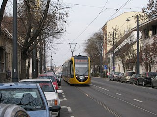
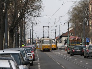
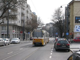
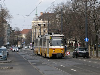
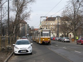
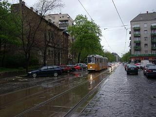
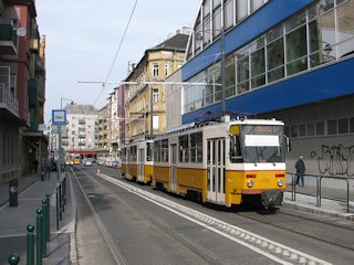
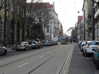
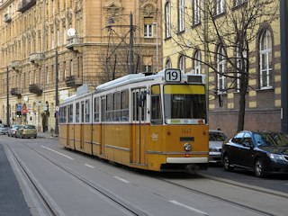
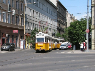
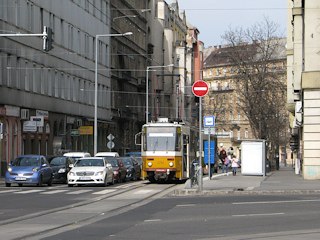
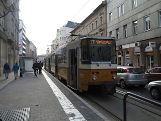
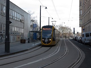
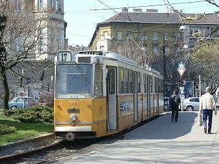
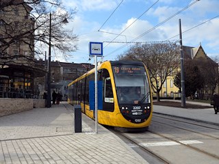
Until 2014 this route - operated by tram line 17 - was one of the old-fashioned ones in Budapest: it featured sections running in old streets paved with cobblestone, and stops without platform isles. Then it was closed for a grand renovation as part of the new north-south interconnected network. It was even said that the number 17 will vanish forever, yet in the last weeks before the opening the plan was changed, and the new network saw the rise of a new tram line 17 with its southern terminus way down in South-Buda. Since the reopening this once badly patronised stub became an integral part of the Buda tram network, with routes 17, 19 and 41 running here.
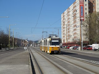
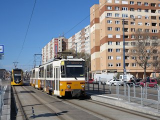
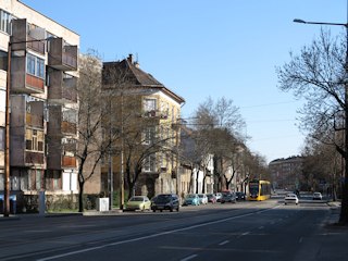
Our virtual ride on this page starts north, between concrete-block highrise apartment housing areas built in the communist days. It then gets a bit more old-fashioned southwards, until we reach the the somewhat gloomy remains of the one-storied small-village area of Újlak. Afterwards we pass underneath the noble hillside of Rózsadomb ("Rose Hill"), and arrive to a metropolitan area with mansions around Margit körút.
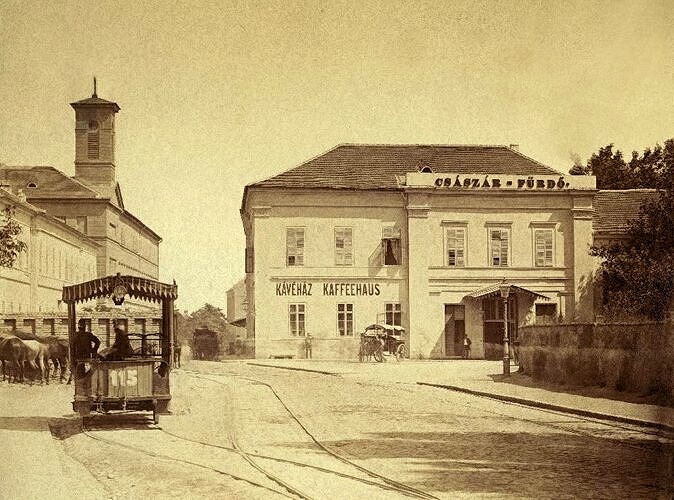
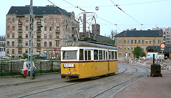
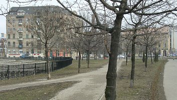
Horse tram in today's Frankel Leó utca - here's the same location nowadays (as of March 2016, Google's street view still shows the construction works in 2014)
The horse tram to Óbuda was one of the earliest public transportation means on the Buda side in the late 1860's, and it's the basis of this line between Margit körút and Zsigmond tér. The section between Zsigmond tér and Vörösvári út (the northern terminus) was built much later - in 1913 - being of course electrified from the start. It was meant as a bypass for the busy main route in Lajos utca, which was used since the horse tram days. Interestingly the main section was reshaped and then closed in several steps between the WW2 and 1981, while the "bypass" route 17 survived.
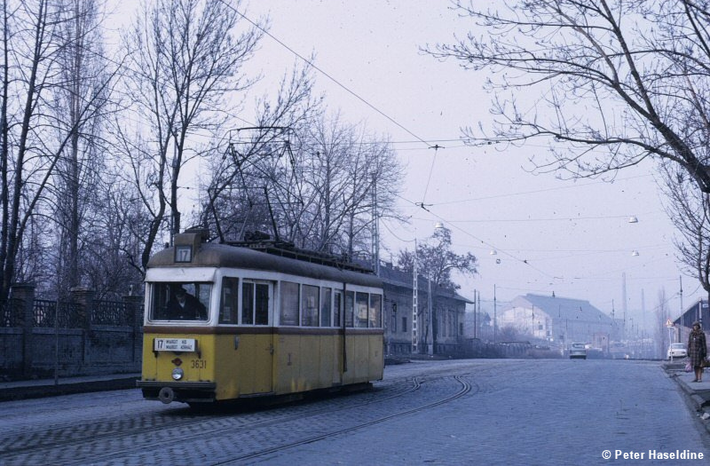
Tram 17 terminating at Margit kórház in 1976 on Peter Haseldine's wonderfully atmospheric photo - here's the same location nowadays (as of March 2016, Google's street view shows the state of 2014)
And there's another confusing bit: today's route 17 was abandoned in 1958 between Margit körút and Vörösvári út, and was built back in 1981 - at the same time when many other tram lines of Budapest were getting closed! By the 2000s patronage of the line became marginal: basically it was a rare-running service with unfavorable connections to other lines. There were even calls to simply close it. Then came the idea of the interconnected south-west lines in Buda, where the route was to be connected to line 19 via a newly built section along the Danube, and to line 18 via Margit körút. The whole project was hardly more than 1 kilometers of newly built tracks plus a few new track connections, but it makes so much difference!
Hard to belive, but this ambitious plan was agreeded by the until then not really tram-oriented City Hall around 2009. Work should have had started right away, but local politics intervened: the mayor of the 2nd district ("II. kerület") thwarted construction works due to fear of losing parking places, trees and traffic lanes. A long process of political dealing started, and the end actual works started 5 years later. I must admit I've given up hope by then, so the fact that there is regular traffic on these tracks still seems pretty unbelievable :)
![]()
Route 17: Bécsi út/Vörösvári út - Bécsi út - Frankel Leó út - Török utca - Margit körút - Széll Kálmán tér - Krisztina körút - Alkotás utca - Móricz Zsigmond körtér - Fehérvári út - Savoya Park (14.3 km)
Vehicles: 2 x Tatra T5C5 / CAF34 (from remise Angyalföld, Budafok and Száva)
Route 19: Bécsi út/Vörösvári út - Bécsi út - Frankel Leó út - Vidra utca - Bem rakpart - Várkert rakpart - Gellért rakpart - Bartók Béla út - Kelenföld vasútállomás (11 km)
Vehicles: Ganz CSMG2 / CAF 34 (from remise Ferencváros, Kelenföld and Száva)
Route 41: Bécsi út/Vörösvári út - Bécsi út - Frankel Leó út - Vidra utca - Bem rakpart - Várkert rakpart - Gellért rakpart - Bartók Béla út - Móricz Zsigmond körtér - Fehérvári út - Ady Endre út - Rózsavölgy - Kőérberek - Kamaraerdei Ifjúsági Park (18.3 km)
Vehicles: Ganz CSMG2 on weekdays (from remise Ferencváros, Budafok and Kelenföld) and 2 x Tatra T5C5 on weekends
![]()
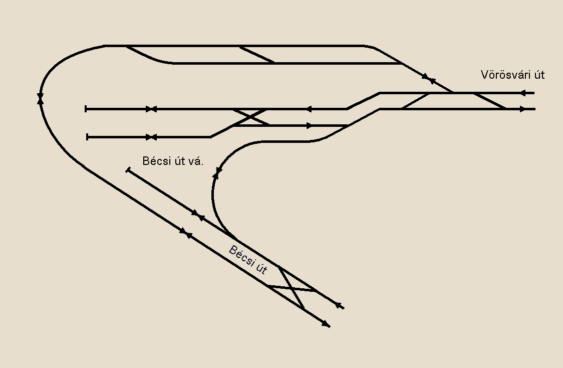
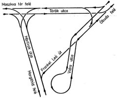
Track layout (C) by Balázs
Fejes, from villamosok.hu
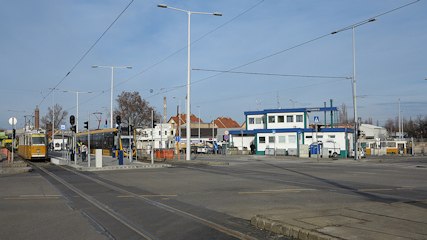
The terminal complex of route 1 and 17 was built in the early eighties as a quite ambitious project: the switches and safety devices were designed for a "high-speed", high-capacity operation in modern LRT manner. Then years of disrepair came, and now the whole setup is a bit of a mess - at least in my opinion.
This is where Budapest's first (and now long abandoned) trolley bus service started from in 1933, and where nowadays you can change to tram line 1 and buses. During shift changes you can also take photos of trams leaving or entering the line via the connecting tracks, and you can also spot the sad remnants of remise Óbuda, which was closed in 1996.
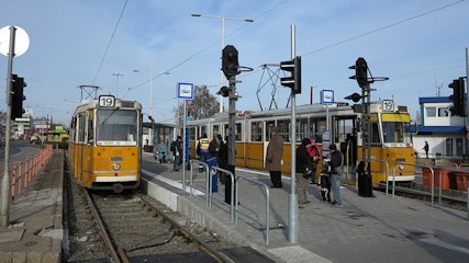
Only the platform was rebuilt in 2015, making the load a bit too much for just two tracks. As an interim solution, the southern, shorter connecting track to route 1 is used for reversing (right).
To the left: tram 17 on the southern connecting track. At other times, the northern connecting track is used, but that lacks a platform (see photo to the right), so it's only used as a reserve solution.
As mentioned earlier, the first section of this stretch was abandoned between 1958 and 1981: the street then ran along and between large brickyards and the gutters where their blue-collar workers lived. The former were not needed from the 1960s, while the latter was seen as shameful by the so-called-workers'-regime, so they were torn down in steps in the 60s and 70s. Then a new, wider street was built, with new tracks.
Strangely only one side of the road is dominated by the ten-story buildings: the other is the hillside of Hármashatár-hegy, which is only now getting built in with cottages, more modern (and moderate) estates and malls. If you take a look to south-southwest, you can also spot the baroque Kiscelli Castle on top of a hill.
From the stop Margit kórház it gets more...
... and more urbanised.
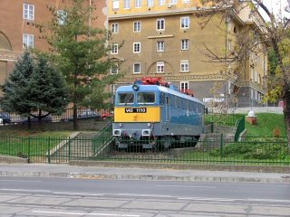
To the left: there's a V43-class electric loco displayed at the campus of Óbuda University to commemorate Kálmán Kandó, one of the pioneers of electric railway traction. To the right: there's a crossover for reversing at the stop Katinyi mártírok parkja (a small park dedicated to the martyrs of the Katyn Massacre).

CC BY-SA 2.5, https://commons.wikimedia.org/w/index.php?curid=755616
By the way, you can find roman relics and museums everywhere around Óbuda, for instance the remains of an amphiteatre behind the small park.
| Lost
rails: Nagyszombat utca
We arrived to a "lost rail" location: this is where the Lajos utca, and later the Pacsirtamező utca tram line branched off, and also where the Bokor utca loop (see later) returned to Bécsi út. Too bad that they abandoned this line in 1981: trams used to go halfway around the ruins of the amphiteatre ("amfiteátrum"), which must have been a nice experience! This is one of the two remaining such ruins of Aquincum, the roman settlement that basically became Óbuda (the other one is located a few kilometers to the north). |
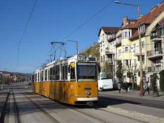
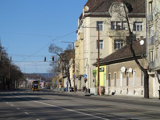
Here we enter the former slums of Óbuda-Újlak, dominated by worn one- and two-storied houses (some of them are from the 18th century) and shining new replicas of them.
| Lost
rails: the Bokor utca reversing loop
This section runs through an area that started to re-shape in the early 1990s, but then the renovation process got stuck, and it remained in a semi-complete state. This has changed for the better after 2000, but until then you could still see signs of the old reversing loop at Bokor utca, used until the sixties (the two photos above were taken in 2001). There are still a few bombsites and unfinished buildings, but the vicinity is now teeming with restaurants, shops and clubs. |
Kolosy tér is another changing point in the "mood" of the line, from here to south it gets narrower and more urbanised again.
Before and after the renewal. Once most of Óbuda consisted of similar houses, too, but then most of them were torn down to give way to high-rise buildings giving home to much more people on a much higher level of comfort (tap/hot water, proper sanitation, central heating, etc).
To the left: Kolosy tér is also a problematic spot where cars sometimes obstruct trams. During rush hour traffic jams you can see them queing up into the distance. To the left: facing south, with Zsigmond tér in the background.
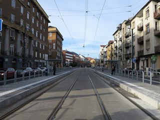
The section south of Zsigmond tér is dominated by mansions, hospitals and spas.
To the left: tram 17 before the renewal, to the right: in March 2016. The 1970s-style arch-top building in the background is the Béla Komjádi pool. South of it you will find the Császár Baths, with parts dating back to the Ottoman times, and after a few hundred meters you'll arive to the entry pavilion of the Lukács Baths, that has an even longer history.
This is probably the narrowest section of the Budapest tram network with some quite old buildings around (both pictures were taken before the renewal). There's also a pond next to the street, behind glass fences: it's part of a thermal cave, said to be one of the biggest of its kind in the world. Its real size was discovered only a few years ago, but unfortunately it's not accessible for normal people.
At the turnout of Török utca, south-bound cars of tram 17 turn right (=left-hand side to us on the pictures above), while routes 19 and 41 go straight (=right-hand side to us on the pictures above)...
.... for a few hundred meters before turning left (as seen on the picture to the left). The north-bound track is used by all three routes jointly:

Track layout (C) by Balázs
Fejes, from villamosok.hu
The biggest "attraction" of the interconnected tramway network in Buda is this junction: trams on line 17 heading towards Széll Kálmán tér take a different street than trams of the same line coming from Széll Kálmán tér, while routes 19 and 41 go another way to get to the Danube embankment.
-> Continue to Vidra utca (tram 19 and 41 heading for the Danube embankment)
Török utca (tram 17 heading for Széll Kálmán tér)
Between 1972 and 2016 this street was a non-revenue connection between Óbuda and the rest of the Buda network. After 1998 only one track remained, seen to the left with a chartered tram in 2009. In 2015/16 the car lanes and the single track have kind of swapped places, as seen to the right.
The single track is not reserved so the parking-space could be retained, and the stop at Margit körút is a bit far from the other stops also called "Margit híd, budai hídfő H", but the only alternative was not to build this line, so I guess it's a fair compromise.
-> Continue towards Margit körút (route 17)
| Lost
rails: the reversing loop via Frankel Leó út
After World War 2 the house block between Margit körút (then called Mártírok útja), Török utca and Frankel Leó út was encircled by the reversing loop for line 4. Since 2016 these streets have tram traffic again, but in a different layout (shown above). |
At Vidra utca the tracks turn to left, towards the Danube. The north-bound stop of route 19 and 41 is located here, probably so that it's closer to the north-bound stop of tram 17 in Frankel Leó utca: passengers can stand on the corner to see which direction a tram is coming from. A joint stop would have been nicer north of the corner, but obviously there was not enough space.
Margit híd budai hídfő (The Buda bridgehead of the Margaret Bridge)
That's how it looked like until autumn 2014 (left), and this is how it looks like since January 2016 (right). Here's where a short interlaced section starts.This was built so mathematically only one lane was taken away from the road surface - the former bus lane:
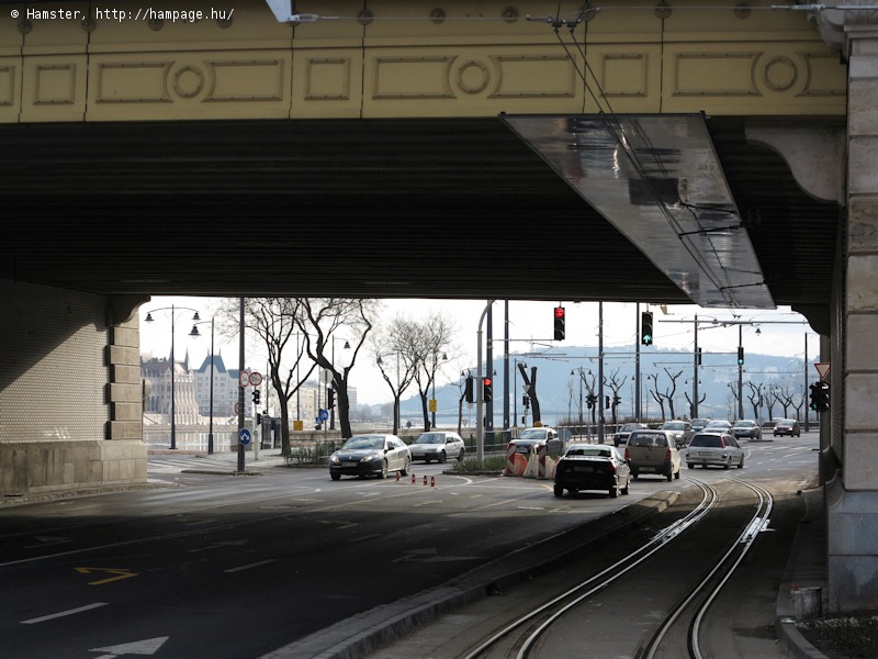
-> Continue to the Danube embankment
![]()
Back to the
top
Back
to the opening page
Back
to the clickable map
Disclaimer: The author cannot
be held responsible for mistakes, misinterpretations, inaccuracies, inactualities,
etc. on/of these pages, nor for the content of other pages linked in.
![]()
Send
a mail to the author
The
author's homepage
