Latest update: 13. December, 2015
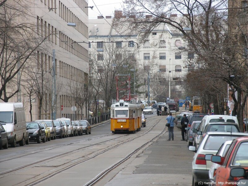
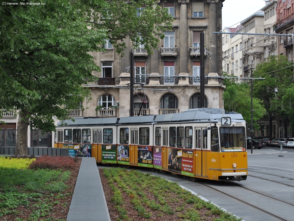
Route 2 is pretty much like a sightseeing tour, named 7th out of the "top 10 most scenic trolley rides" by National Geographic. From the once-industrial, now-developing areas in south (with the new National Theater and Palace of Arts) it streches along the river Danube, passing by the magnificent central building of the Corvinus University of Budapest, hotels, the Redoute, the Hungarian Academy of Sciences, the House of Parliament, the majectic Royal Curia, the House of Representatives (once the headquarters of the communist party and earlier the State Defence Bureau (ÁVH)), and of course we should not forget the panoramic view of St. Gellert's Hill (Gellért-hegy) and Buda Castle (Budai vár) on the other side of the river!
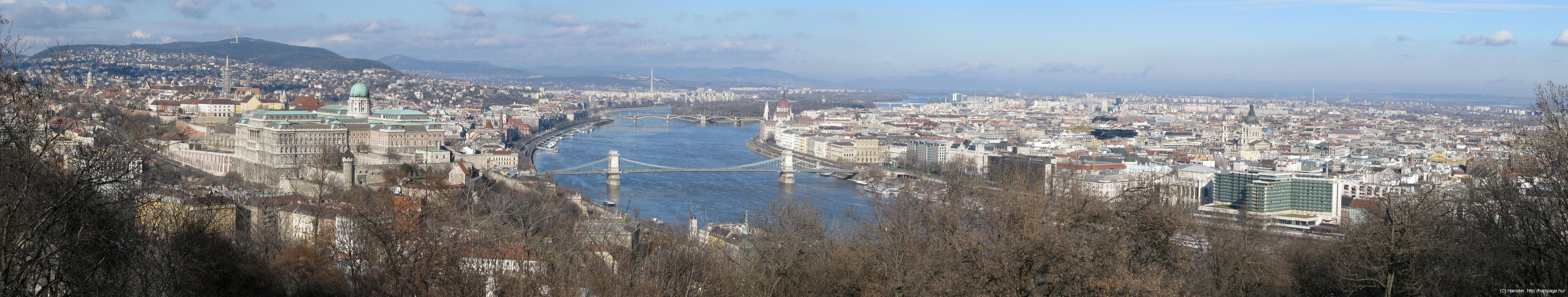
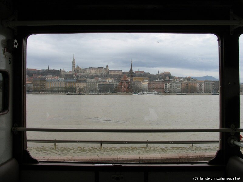
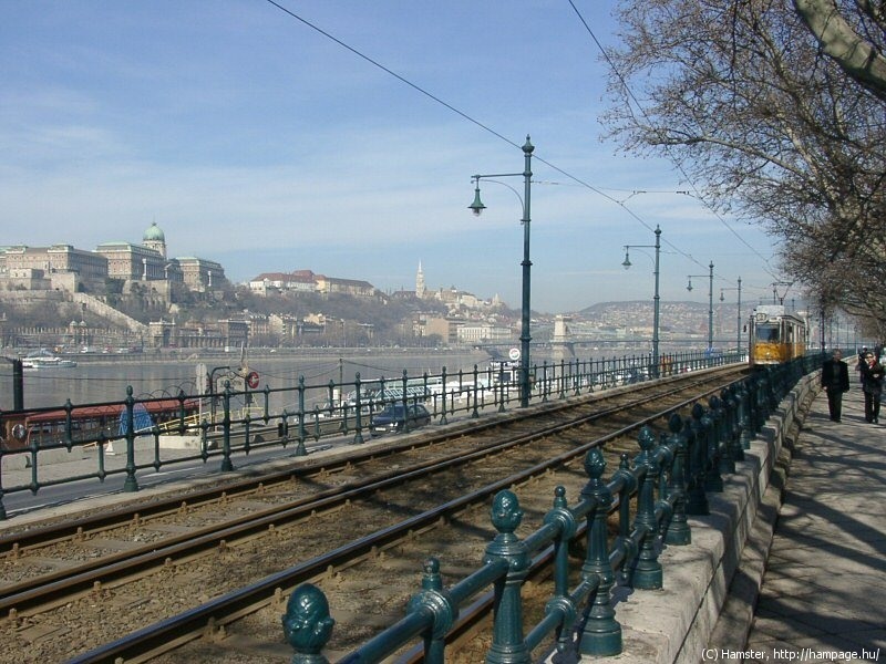
A view at the Danube from
Gellért-hegy:
on the left-hand-side (I mean our left) runs route
19 and 41, on the right-hand side route 2

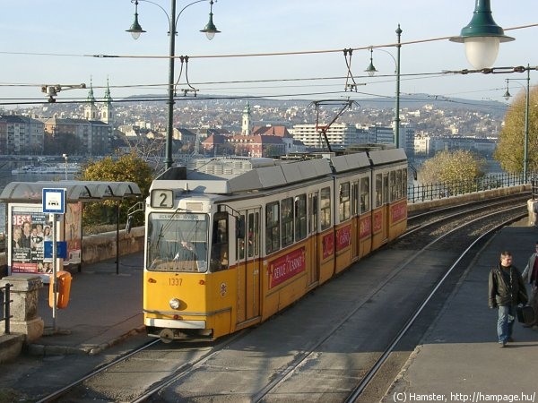
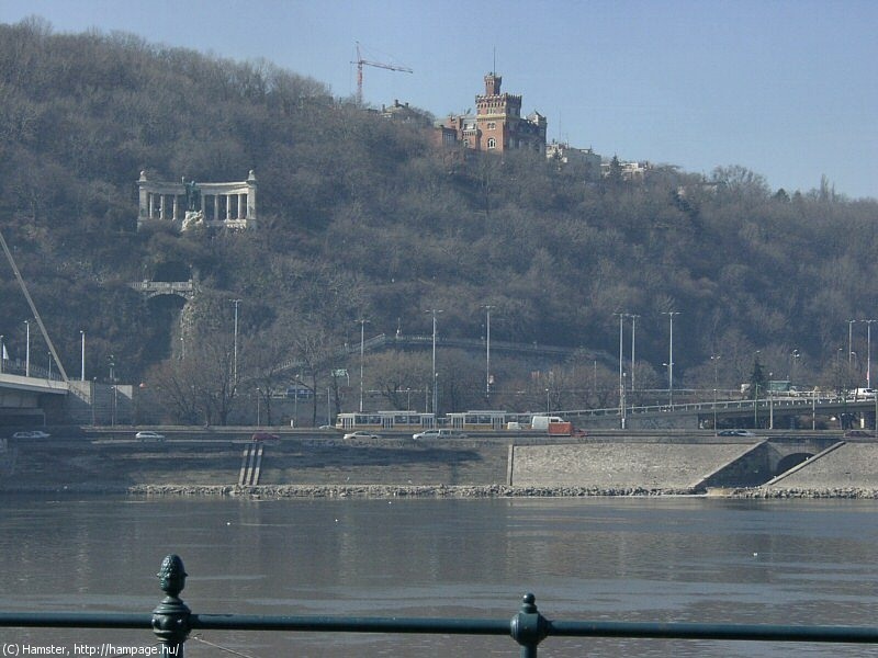
A view at route 2's way
from the Castle Hill.
If you miss this route, you'll miss a great part of Budapest's history!
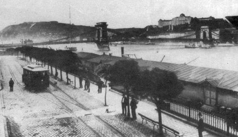
 Although
BVV's second normal-gauge electric tramway has started from the side of
the Hungarian Academy of Sciences (Magyar Tudományos Akadémia) at
the Chain Bridge (Lánchíd) on 10. September 1889, it only went along
the Danube embankment for a few blocks. The next section of what's now
known as route 2 was the one between Boráros tér and Március
15. tér (then called Eskü tér) in 1897. Around 1900 the
northern part was extended southwards to Petőfi tér.
Although
BVV's second normal-gauge electric tramway has started from the side of
the Hungarian Academy of Sciences (Magyar Tudományos Akadémia) at
the Chain Bridge (Lánchíd) on 10. September 1889, it only went along
the Danube embankment for a few blocks. The next section of what's now
known as route 2 was the one between Boráros tér and Március
15. tér (then called Eskü tér) in 1897. Around 1900 the
northern part was extended southwards to Petőfi tér.
After the Elisabeth Bridge (Erzsébet híd) was completed, the two sections were connected in 1903. By this time the embankment line was also extended to north to the Victoria Steam Mill, via Balassi utca and Pozsonyi út, along the Parliament, and crossing the Grand Boulevard at Jászai Mari tér. It was then further extended, resulting in what later became known as route 15.
In 1926 the embankment section along Széchenyi rakpart (between the Academy and the Parliament) was moved to Akadémia utca. In 1937, the route was cut at Jászai Mari tér, while at the same time the southern section was "detoured" to Lónyay utca via Közraktár utca and Bakáts utca because of the new Petőfi Bridge (Petőfi híd). In 1949 the section in Akadémia utca was placed back to the Danube embankments, and the trams now had an underpass in the bridgehead of the Chain Bridge (originally they went around Széchenyi István tér (square)). In 1952 the southern section was moved back to Közraktár utca, and they've also built a new underground stop for the trams at Liberty Bridge (Szabadság híd). By then, route 2 was already called route 2, running between Jászai Mari tér and Boráros tér.
In 1973 the service was extended to Közvágóhíd along Soroksári út, resulting in its current route. I'm almost sure you'll find this history rather obscure if you don't know Budapest well enough, so I'll skip the details and go further to the...
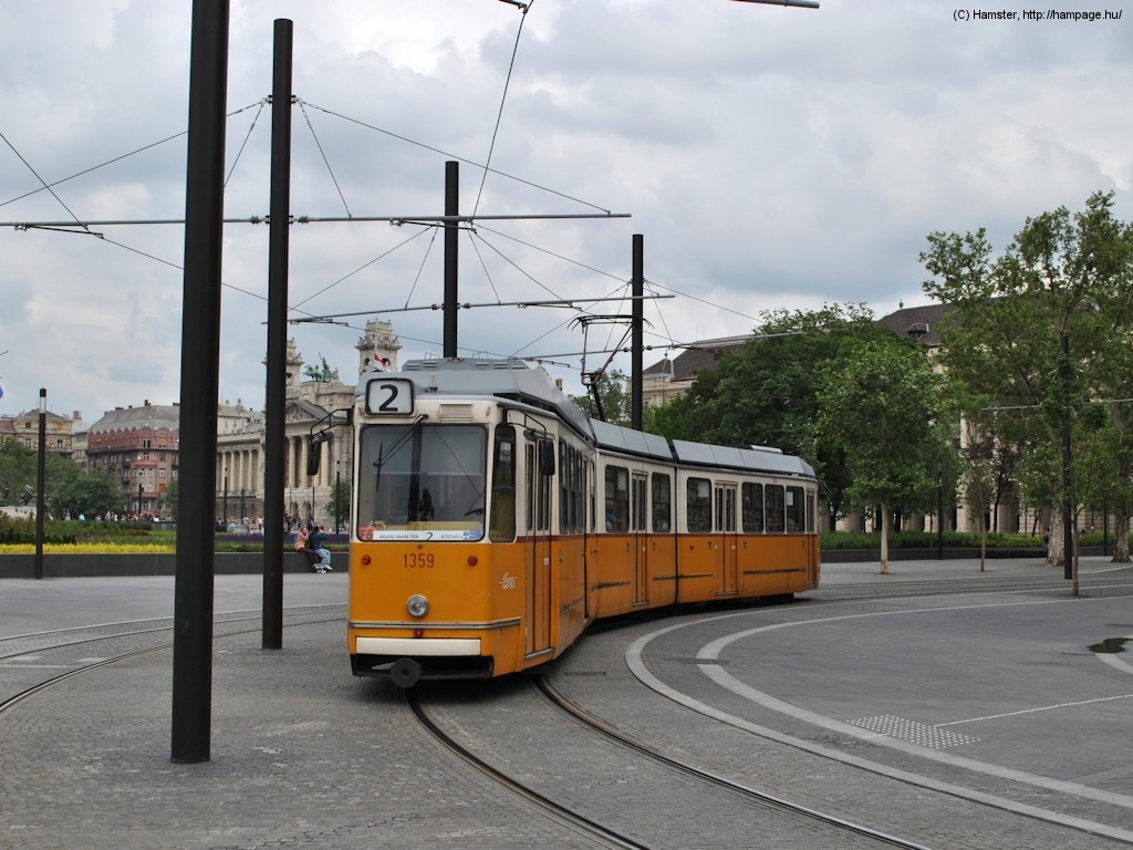
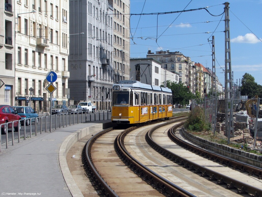
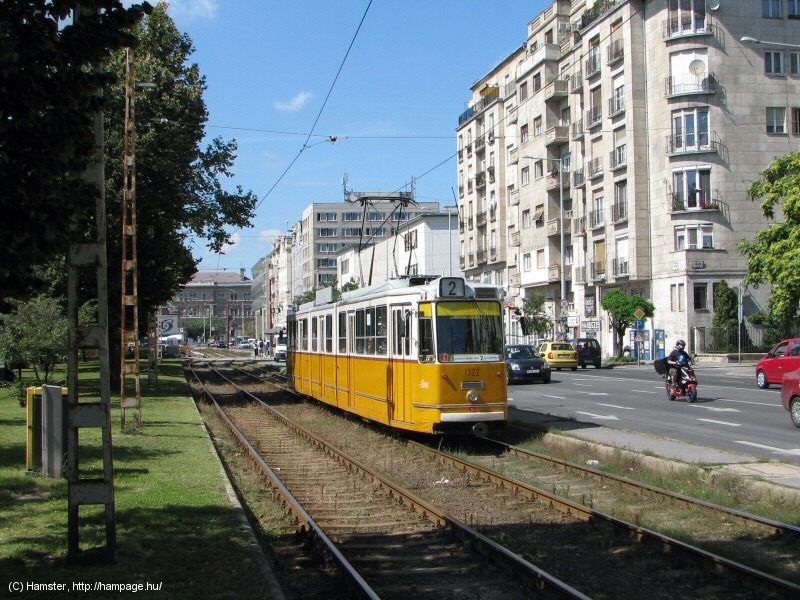
Route 2: Jászai Mari tér - Balassi Bálint utca - Kossuth Lajos tér - Széchenyi rakpart - Belgrád rakpart - Közraktár utca - Boráros tér - Soroksári út - Közvágóhíd (6 km)
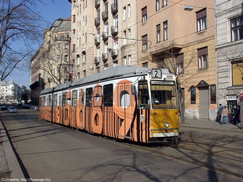
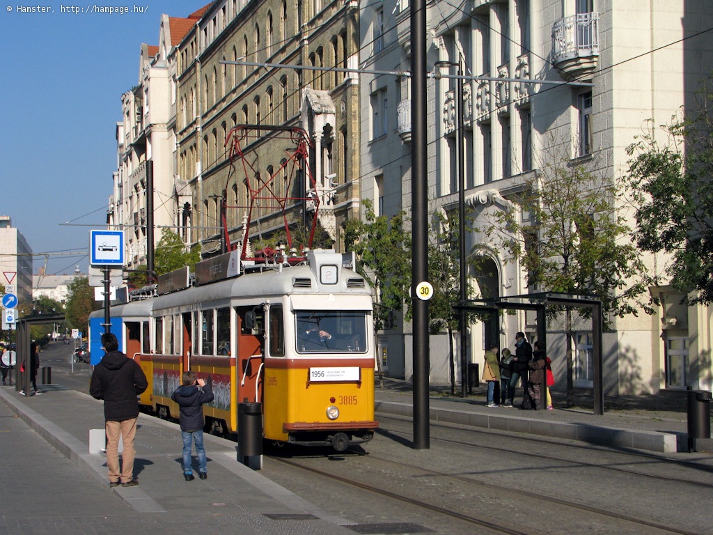
Vehicles: KCSV7 or CSMG2 articulated car
Here's a Google Maps overview of the route - it's located on the right-hand side (as we look at it here) of the Danube:
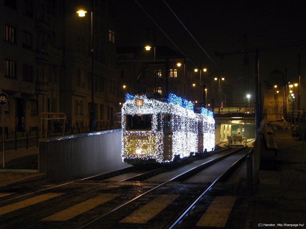
Remark: The route runs almost entirely on tracks on reservation. Because of its surroundings it's also the most likely place to meet chartered rides - including public ones, like the "Library Tram", the "Writers' Tram", the Christmas Tram, trams featuring a special commemorative paintwork, or just one of the heritage trams.
![]()
The northern terminus is a typical (as of Budapest) two-track stub terminus with a scissors crossover. There's a single connecting track to route 4/6.
After the street-running section in Balassi utca we arrive to...
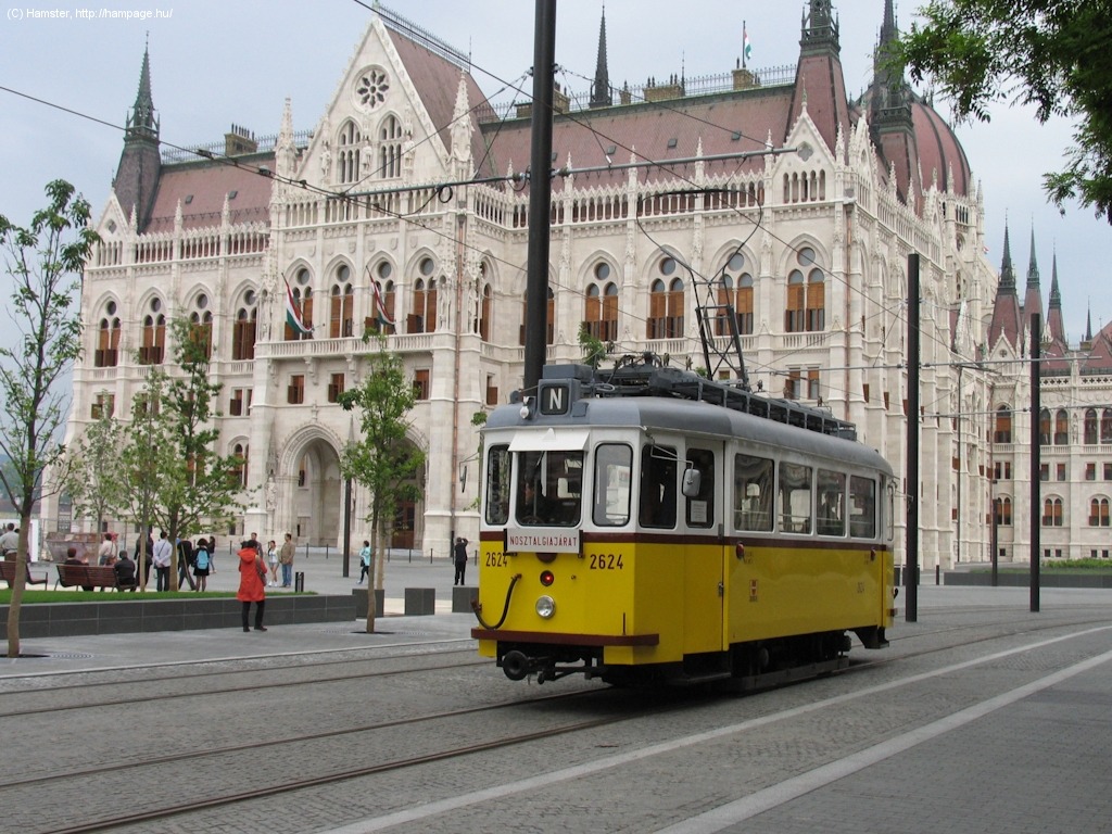
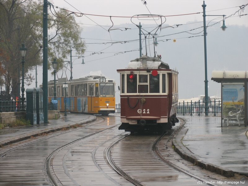
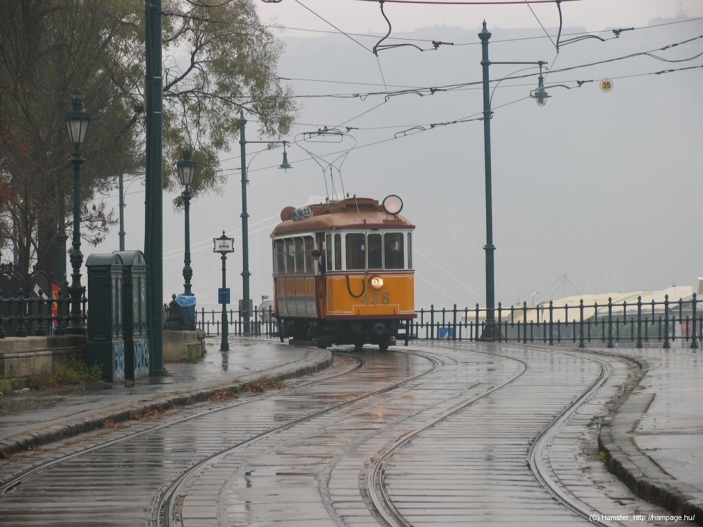
... the new stop Országház, látogatóközpont ("House of Parliament, Visitor Center"), which in fact is a replacement of the old stop Szalay utca. The last 4 photos were all taken of special/heritage services - but as I said, these are quite regular on this route!
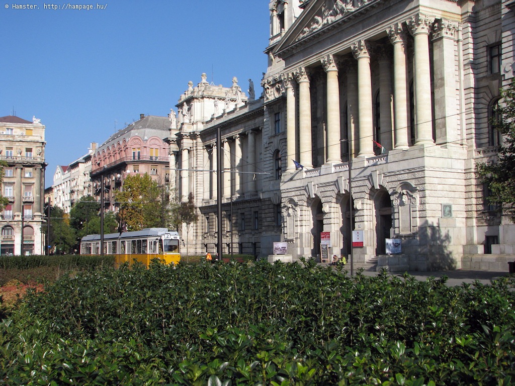
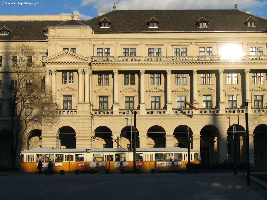
Kossuth Lajos tér is the governmental center of the country. This is where the Parliament, the wonderful Museum of Ethnography (originally built for the Ministry of Justice), the Ministry for Agriculture, the offices of the Hungarian Chamber for Commerce, and the Prime Minister's Office can be found.
To the left: tram
in the bend. To the left: in front of the Museum of Ethnography.
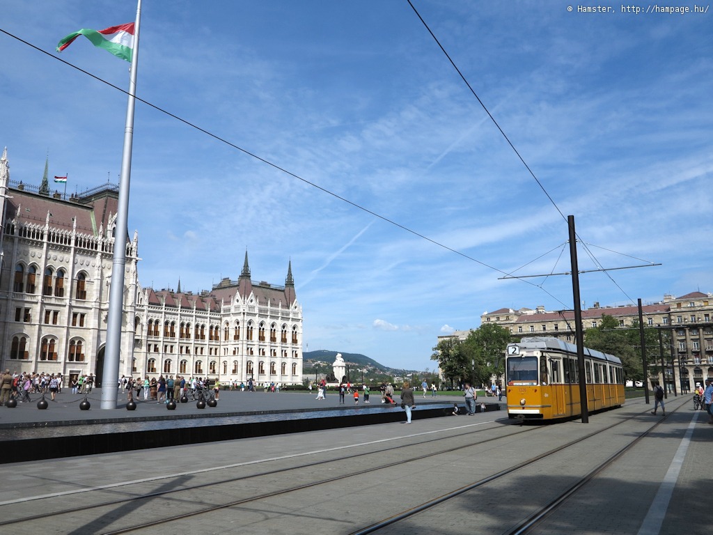
The trams go 'round the huge block of the Parliament building and the park in front of it with the statues of Lajos Kossuth and Ferenc Rákóczi the Second.
Although "Museum of Ethnography" and "Ministry for Agriculture" might not sound interesting, they're both magnificent buildings! Of course these palaces both seem small in contrast to the Parliament, which is the largest building in the country, and also, I think, one of the nicest ones in the world! Check it out from the inside, too, they have guided tours!
Hint: if you're interested
in architecture, check out Alkotmány utca, starting opposite the
House of Parliament: a wide avenue with noble, palace-like buildings.
Hint: you might also want
to take a walk to Szabadság tér, where the
old Stock Exchange, the US Ambassy, the headquarters of the Hungarian
National Bank and many other banks are located. Architecturally it's a
beautiful place, unfortunately you won't find trams there anymore.
Hint: The terminus
of trolleybus lines 70 and 78 is also located nearby.
There's another tram stop at the southern end of the square. It's just opposite the station of the M2 metro line.
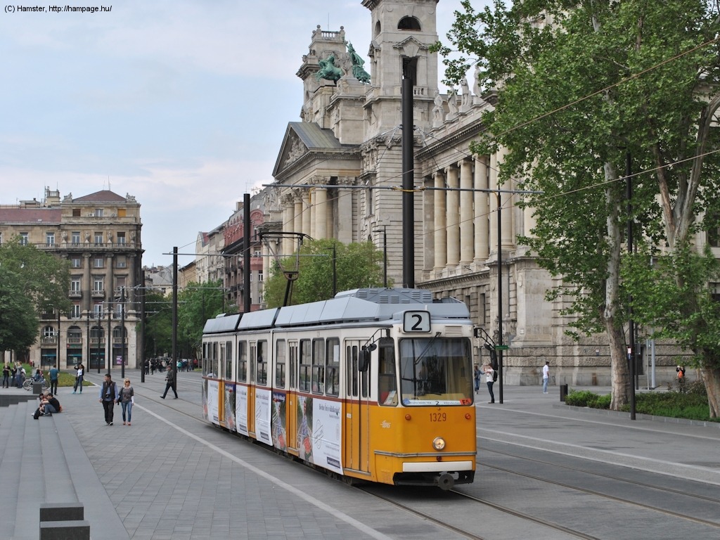
Trams are running along the edge of the square since the grand renewal in 2013/14, which means lots of quite photogenic bends.
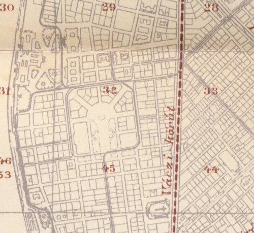
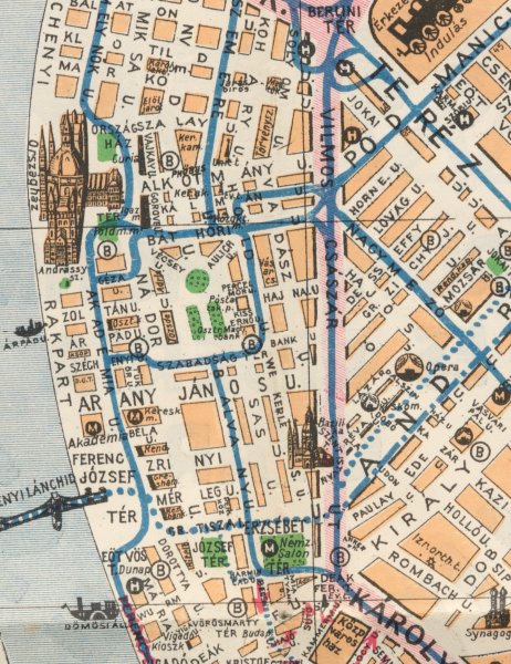
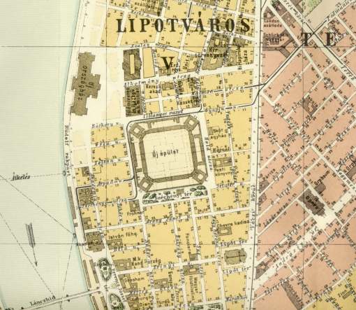
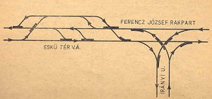
| Lost
rails: Báthory utca and the neighbouring streets
As you might have guessed it from the historic introduction of the line, nearly every street around here has had trams in them for a while. I won't bother you with the details, just take a look at the map above, showing the situation in 1928, compare it with the map from 1914, and the current tram network! |
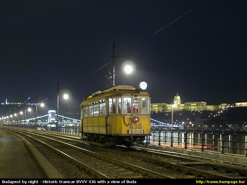
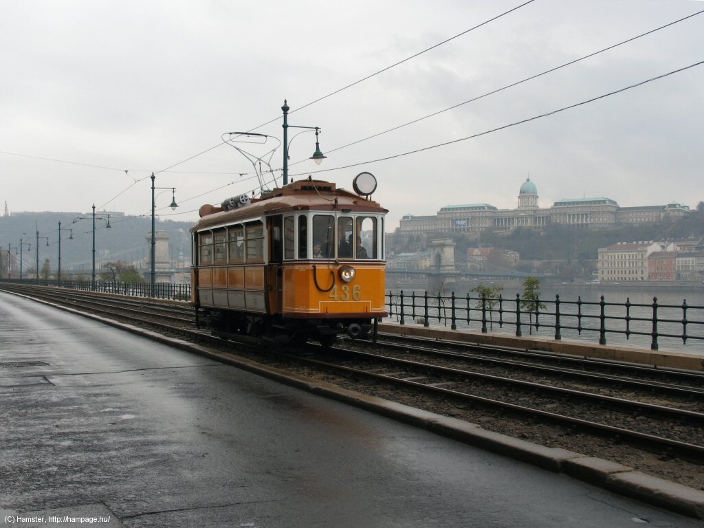
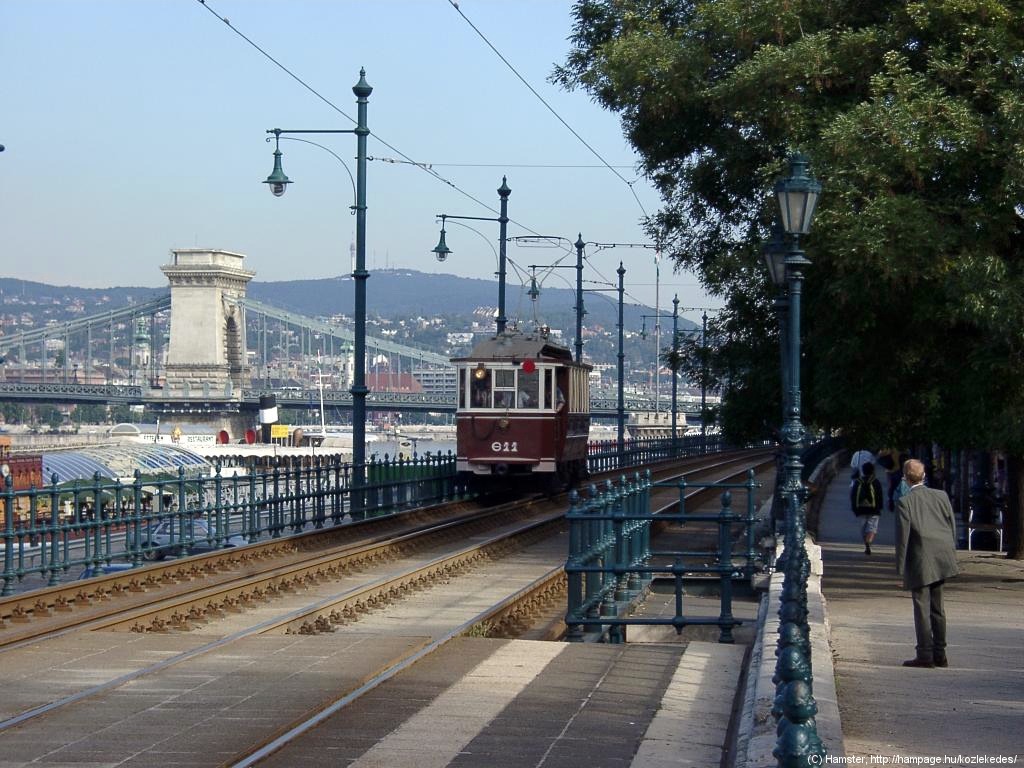
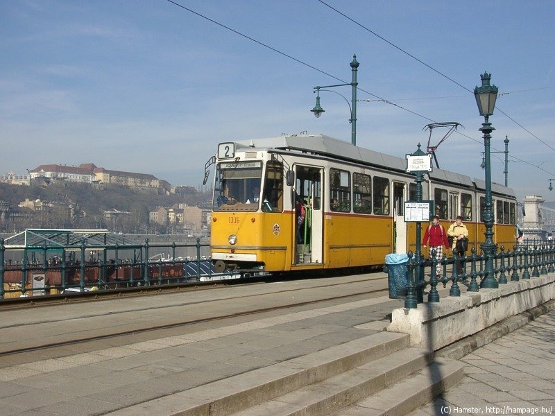
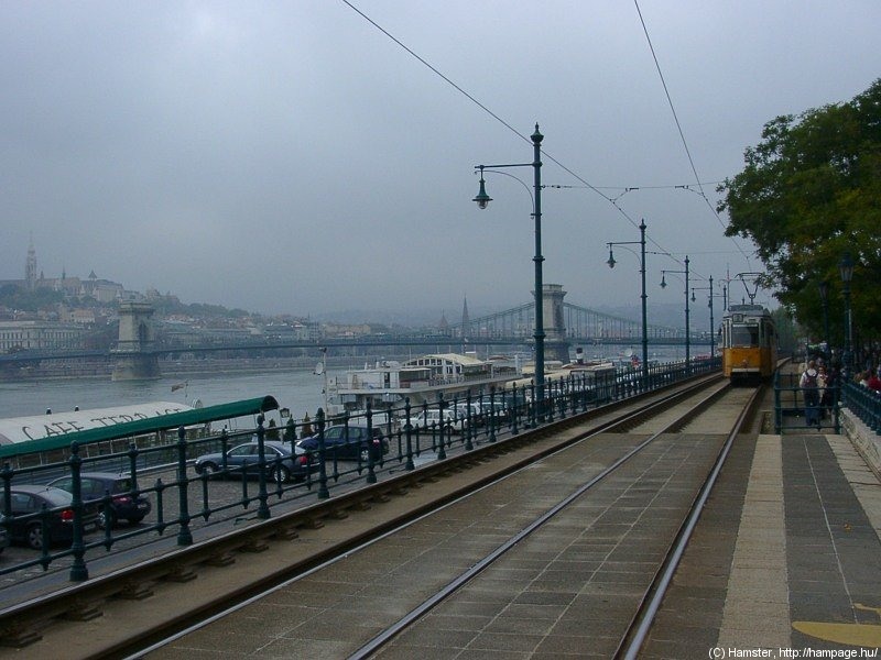
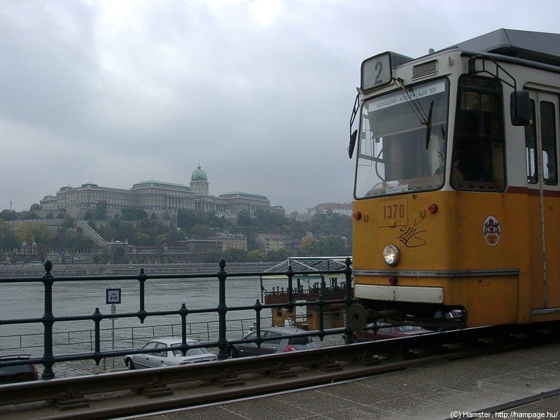
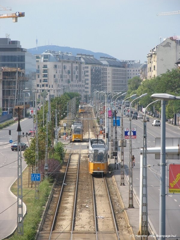
The following section provides a nice backdrop with the Chain Bridge, the Castle District and the Buda Hills.
Of course the view of a tram running here is one thing (left) - the panorama from the window of the tram (right) is also very nice!
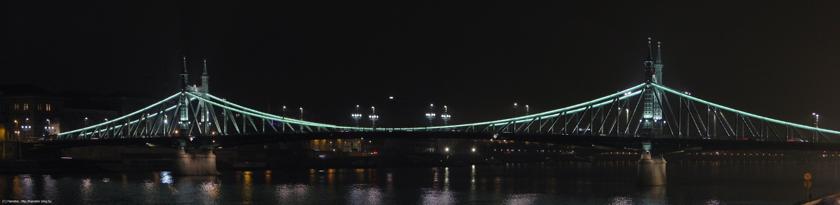
We have read so much about the Chain Bridge, so it's time we reach it!
Trams dive under the Chain
Bridge in front of the Hungarian Academy of Sciences (to the right).
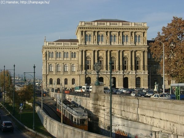
Although this square was named after the US president F. D. Roosevelt until 2011, it has and had much more to do with Count István Széchenyi, the "greatest Hungarian". He was the one who started to raise money for the Academy of Sciences, he came up with the idea of the Chain Bridge, and he also brought the first steam boat to the city.
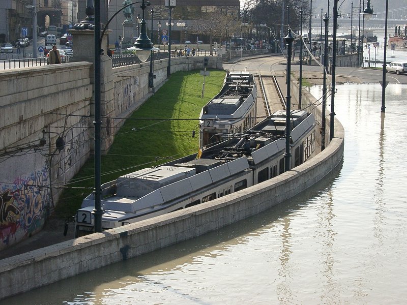
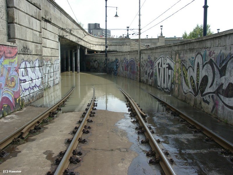
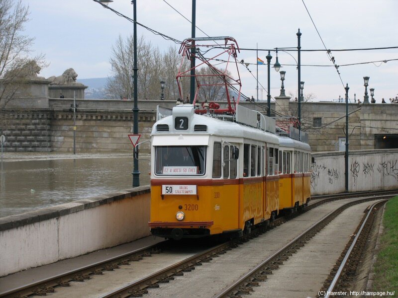
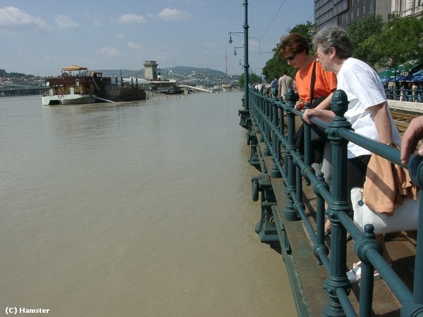
During smaller floods tram
traffic is kept up (left), but when the Danube flows over the embankment,
water hinders the usage of the underpass (right).
If you're in town during a flood, you might be able to see route 2 paying a freshwater tribute to "The Yellow Submarine" from The Beatles :-)
The stop on the southern side of the bridge is called Eötvös tér. This is where the Pest Promenade starts, with its row of expensive hotels. I think the double bend between the Chain Bridge and the stop is quite photogenic...
.... even without the old trams seen above :) To the right: another (now) oldtimer emerging from the underpass under the bridgehead, a bit under water level.
Hint: some very nice buildings can be found around here, like the Academy of Sciences, the Gresham Palace (now a hotel), the Ministry for Internal Affairs. The park in the middle of the square is also very nice, although getting there can be dangerous due to the heavy car traffic.
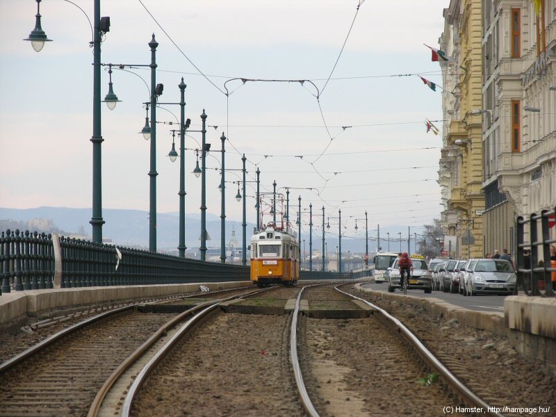
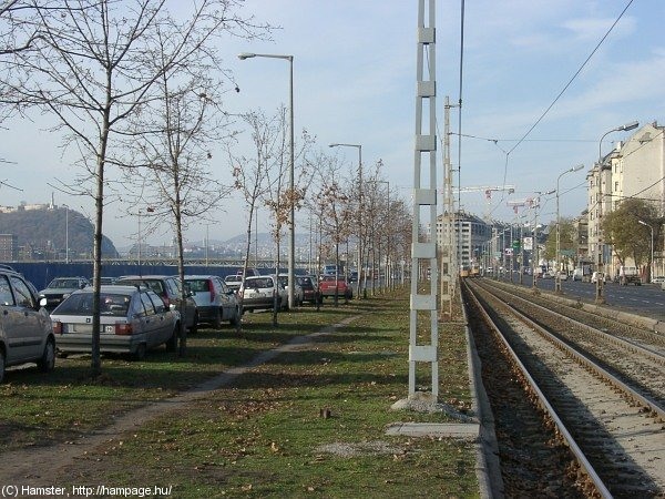
The viaduct of Pest: a bridge
parallel to the water
If you're travelling with the tram, you might not understand why we call this part of the embankment a "viaduct": because the tram is running on a bridge parallel to the river. This structure was built between the quay and the promenade in 1900.
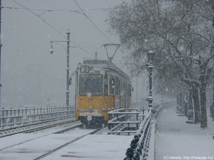
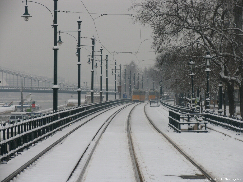
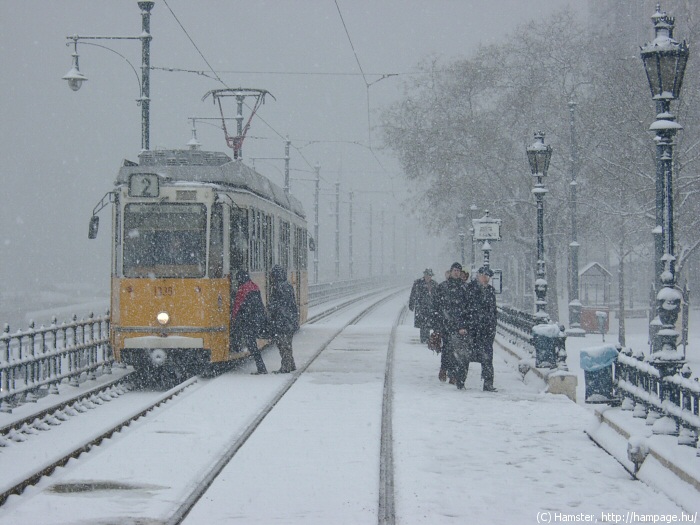
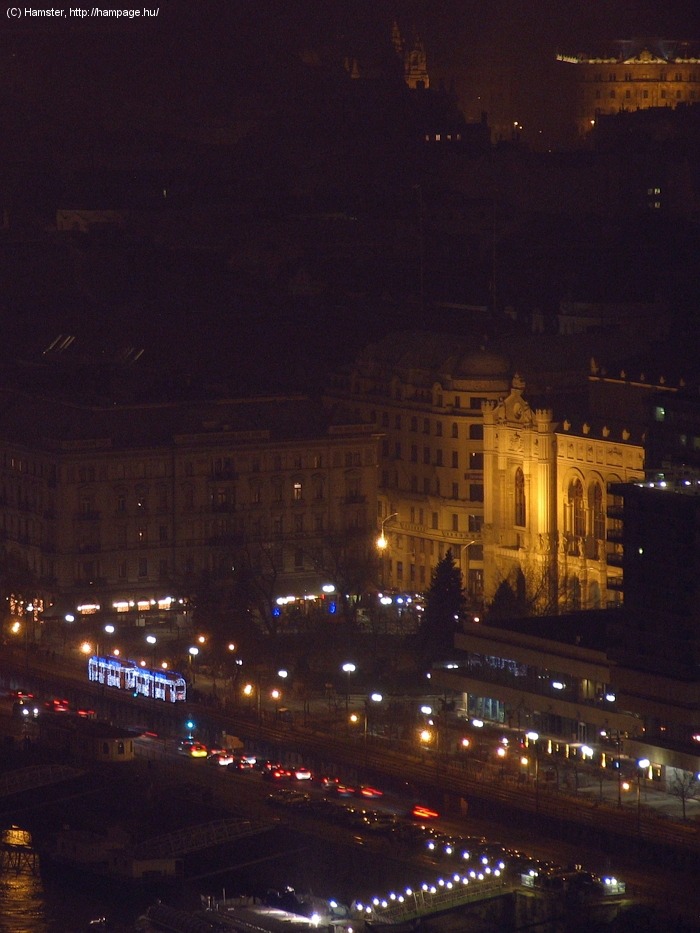
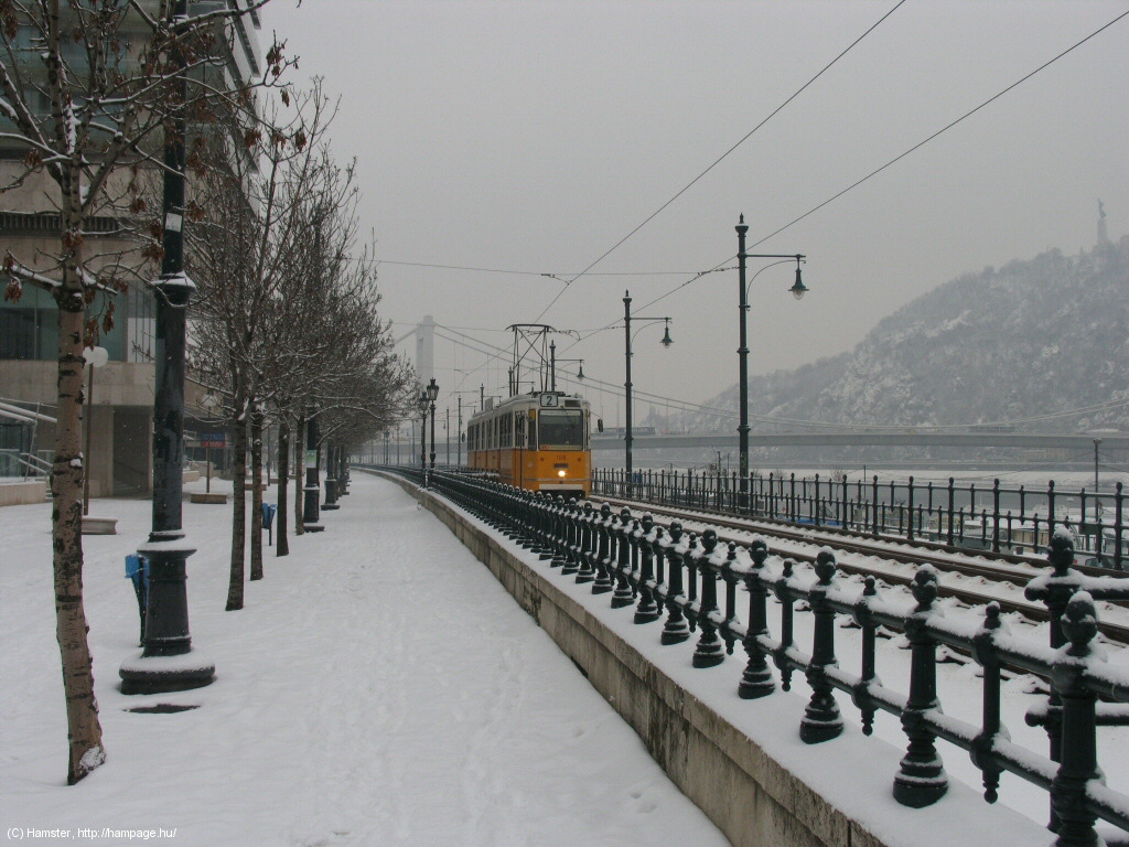
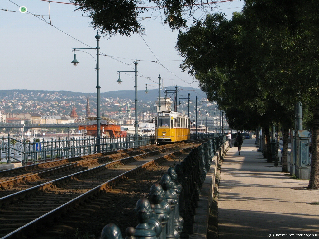
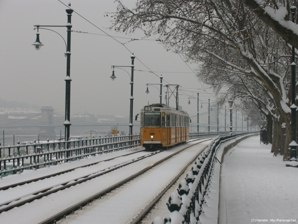
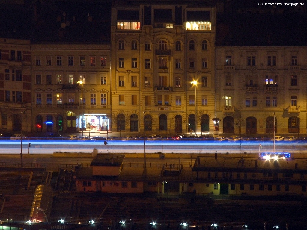
Summer and winter along
the Danube...
"Vigadó" means something like "place for merriment". It was an institution for musical and cultural events, and it still is. From a tram photographer's point of view, the square in front of it has a strange tram stop: the northbound direction has a normal side-platform, while the southbound one has no platform - passengers use the tracks of the other direction for alighting and boarding, as seen above...
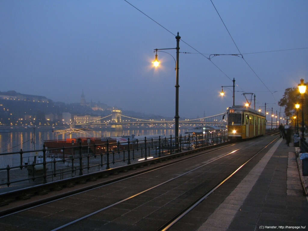
The Chain Bridge and the
Buda Castle acting as backround against the trams.
Now this is a place for making postcard-like pictures. It looks nice even in bad weather...
... and also from the other side of the Danube!
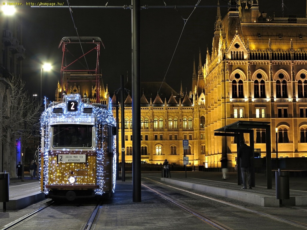
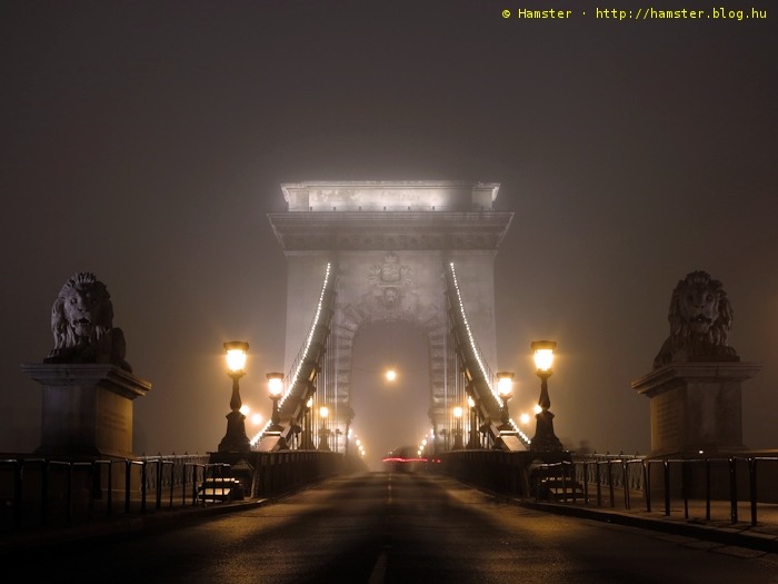
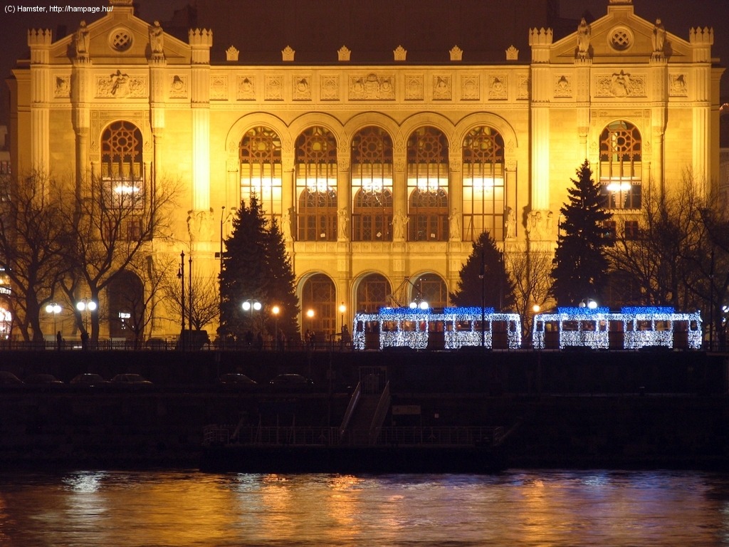
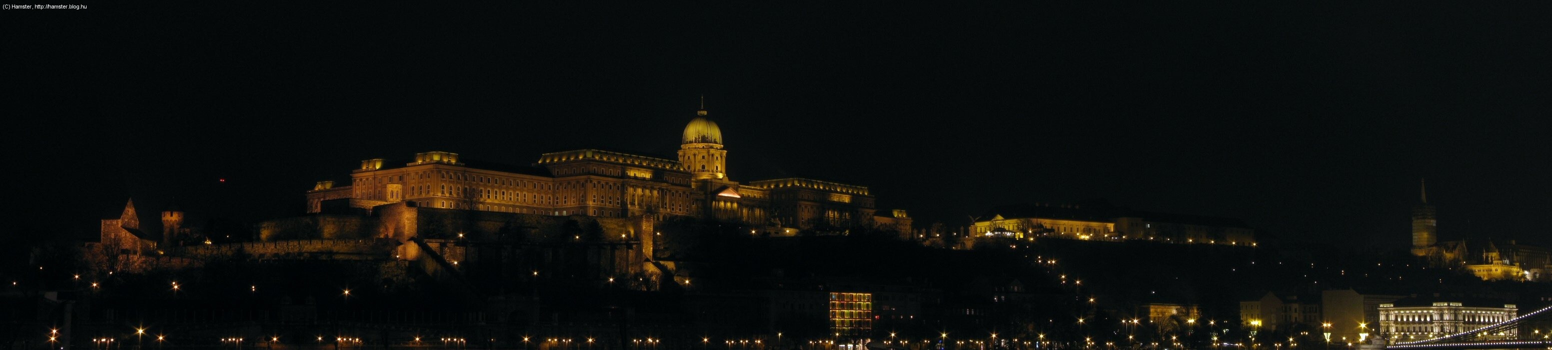
And in the night... well, just look at this picture:
Hint: take a walk to the nearby Vörösmarty tér for some elegant architecture, and also, the inner terminus of the Milleneum Subway Line.

To the left: a tram with
the new Elisabeth Bridge in the background. To the right: Petőfi tér
with a heritage tramcar.
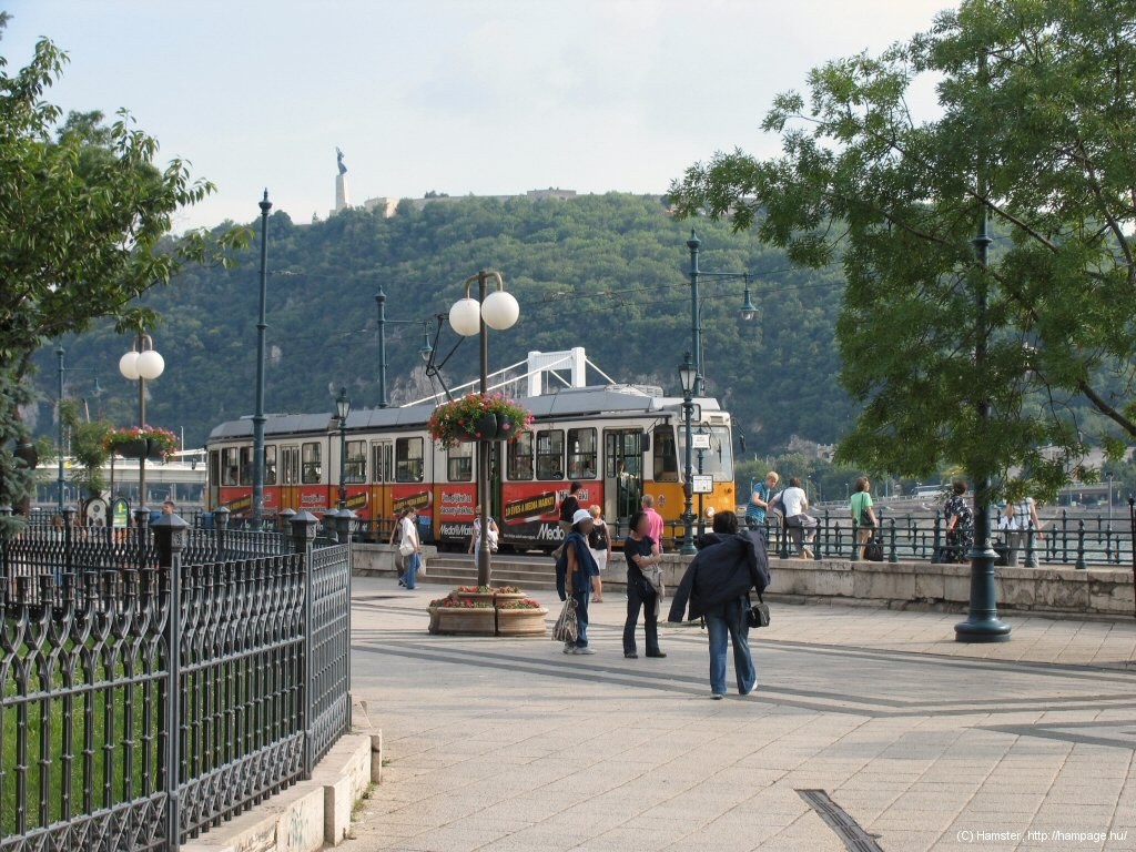
The viaduct continues until Petőfi tér, named after famous hungarian poet Sándor Petőfi, one of the leaders of the 1848/49 uprising against the Austrian monarchy.
In the morning you can not only take such views of tram 2, but also of trams running on the other side of the Danube.
Hint: there's an interesting
orthodox
church at Petőfi tér, which haslost one of its original towers in WW2.
Hint: the
Inner-city Parish Church might also be interesting due to its long
history mixing many architectural styles over the centuries.
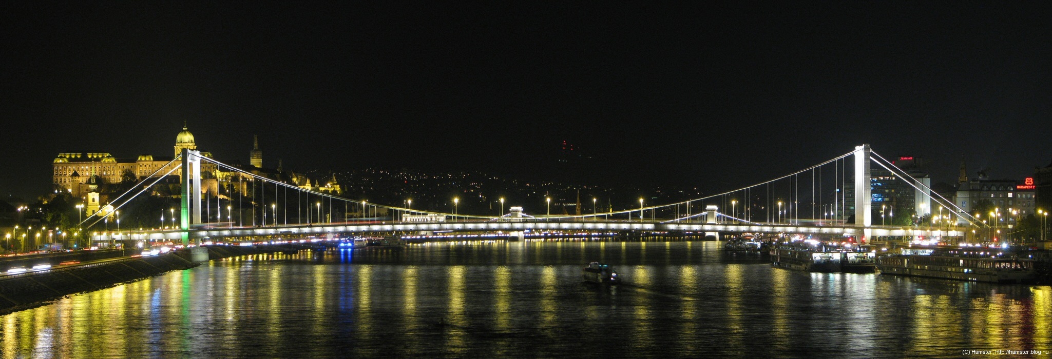
Erzsébet híd (Elisabeth Bridge)
The new Elisabeth Bridge, a modern, but elegant suspension bridge was built between 1960 and '64, after the original bridge was blown up by retreating german troops in WW2. You'll find the history of this bridge on one of my other pages.
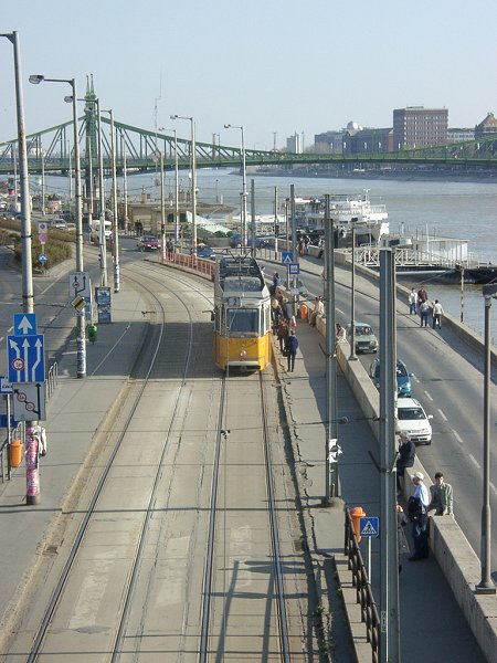
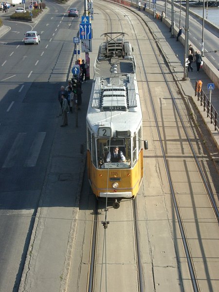
To the left: a KCSV7 tram
with Liberty Bridge in the background. To the right: upper view of a ganz
CSMG2 articulated tramcar.
From the bridge you can take upper-view pictures of route 2.
Trams usually speed up here, but it's not easy to take photographs of them, because of the way the tracks are separated from the rest of the street surface.
Hint: parallel to the line runs Váci utca, a pedestrian area with the old "New City Hall" (we now have a bigger (and - strangely - older) one instead of it, but this one is much prettier - we call it "new" because when it was built, there was also an older one), restaurants, pubs and tea houses. You should probably also check out Szerb utca featuring a touch of what Pest looked like until the second half of the 19th century - before it was rebuilt from a town to a metropolis.
Hint: if you go up the Gellért-hegy in the afternoon, you can make nice panorama views with trams.
The old, dark and smelly subway tram stop built in 1951 was replaced with a totally new one in 2008/09.
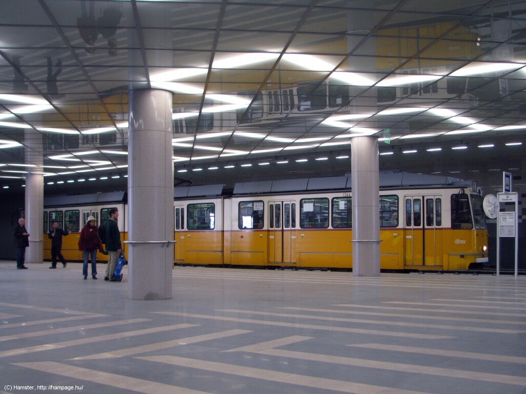
Since the western side of the subway borders right on the bridgehead of Szabadság híd which contains the counterweight of the bridge, the platforms are built off-set: the northbound one is spatious (left), while the southbound one is a narrower one in the tunnel (as seen in the background on the photo to the right). You can also change to metro line 4 at its interestingly modern station.
Hint: Visit the Grand Market Hall or the building of the Corvinus University at Fővám tér.
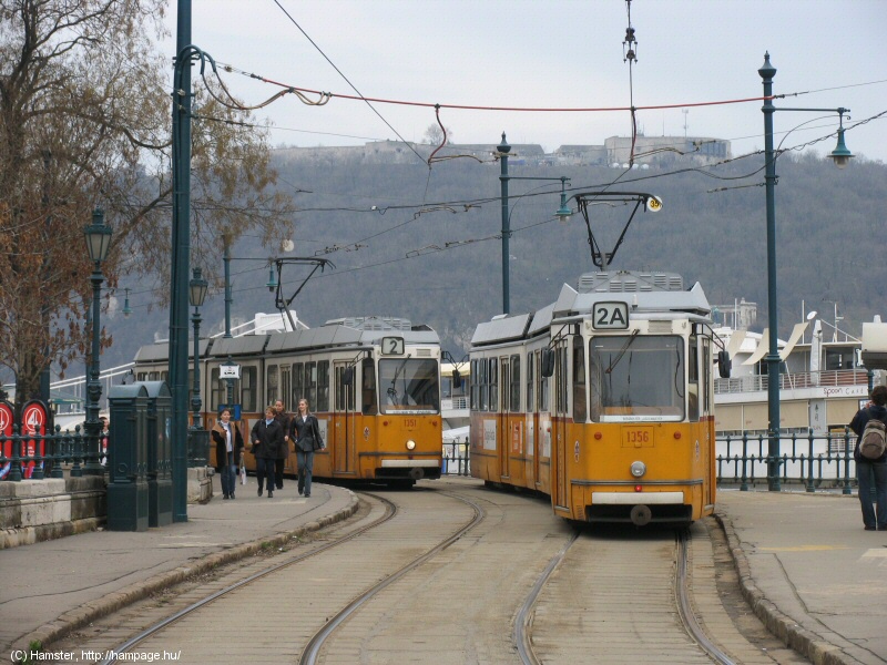
-> Change to the Small Boulevard routes 47/49
Szabadság híd (Liberty Bridge) is quite magnificent in itself, and while standing on its sidewalk, you can also make photos of Erzsébet híd:
Közraktár utca is where the old Central Public Warehouses have been converted to a modern event hall/plaza/not-sure-what.
These two pictures were taken while the warehouses were rebuilt. Hint: the building on the photo to the left has an interesting dynamic illumination (a random light-show) during the night.
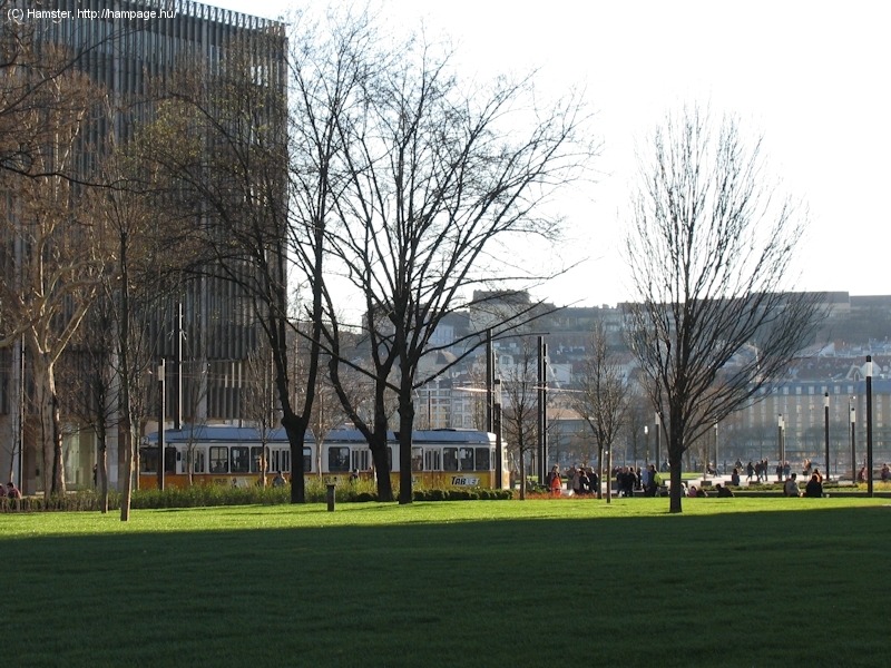
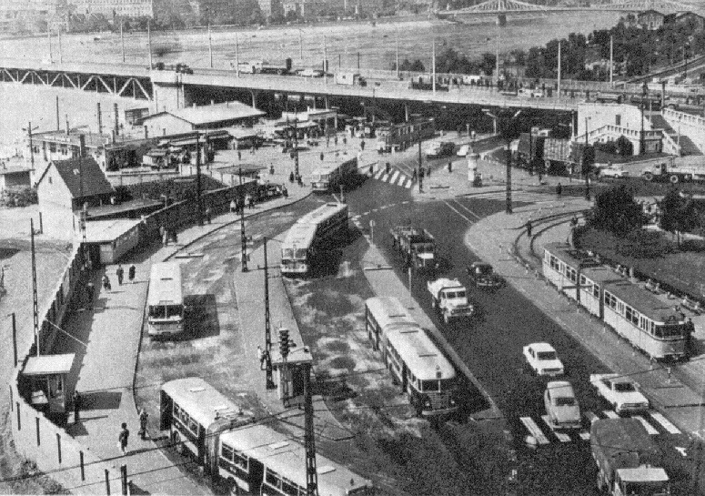
The tram runs on reservation along a small park until reaching Boráros tér.
At Boráros tér, the lines passes under Petőfi Bridge with the Grand Boulevard routes 4 and 6 on it.
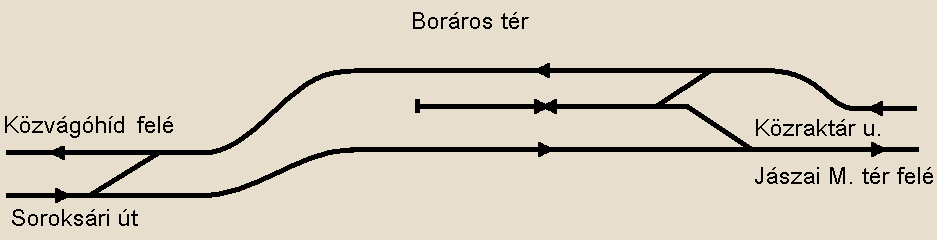
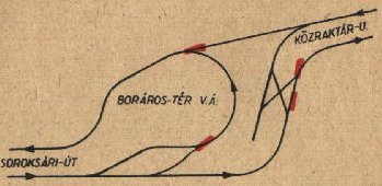
Layout drawing by Balázs
Fejes
The former terminus of route 2A is a spur between the tracks of route 2. It's not really interesting or photogenic, and it's rarely used nowadays.
| Lost
rails: Boráros tér
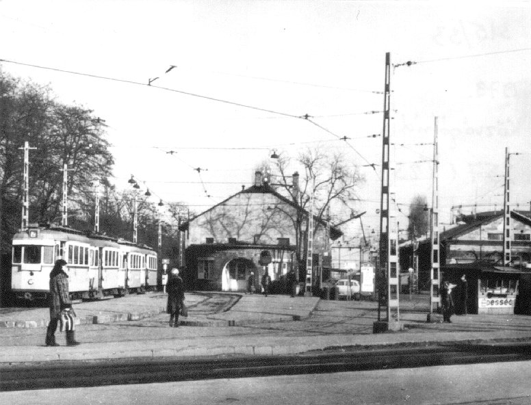
Boráros tér used to have multiple reversing loops, of which the last was "lost" in 1973. On the picture to the left you can make out a "Bengali" articulated tram turning in the loop. |
-> Link to the Grand Boulevard routes at Boráros tér
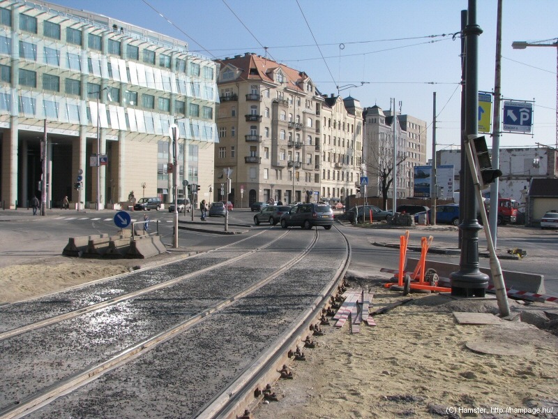
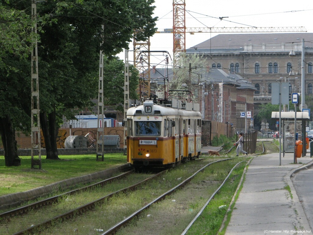
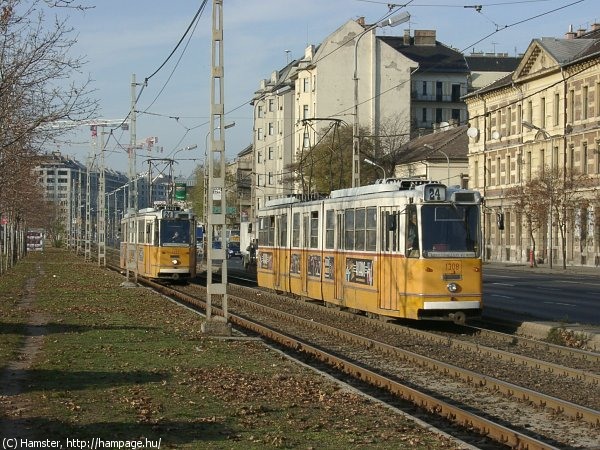
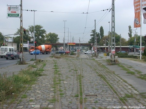
Soroksári út is a major trunk-road leading to the southern parts of Pest. Until the early 90s there was a goods station where you see the modern building on the picture above. The station was then abandoned, torn down, and left there for a few years without usage. Now they're beginning to turn it into a new city center, which sounds exciting especially if you remember how the place looked like 20 years ago!
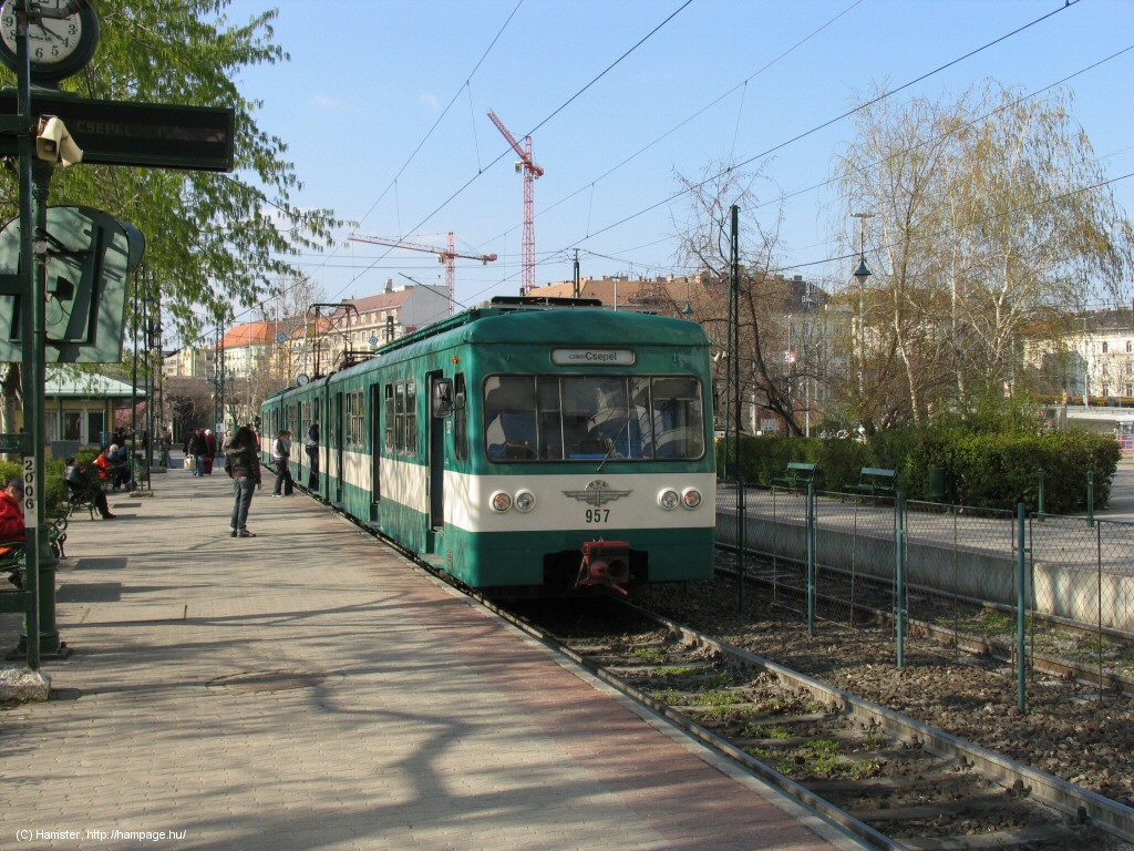
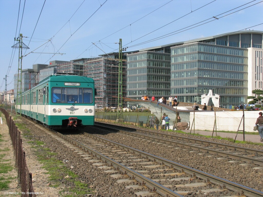
But before we leave Boráros tér, I must mention that the inner terminus of the Csepel HÉV service is also located here. It's a separate railway, there's no connecting track to the tram (anymore).
-> Jump over to the Csepel HÉV
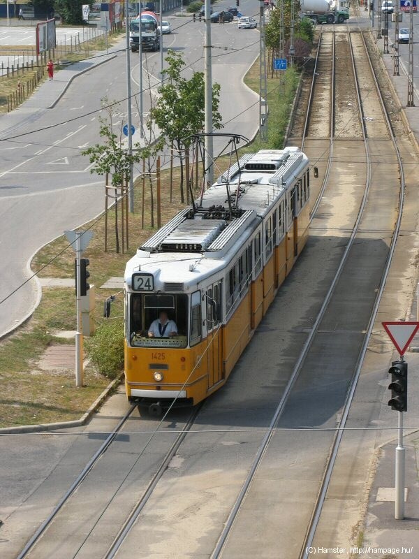
Junction Haller utca:
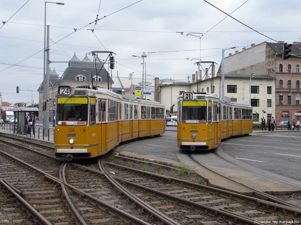
route 24 turns from south to east here.
Haller utca was renovated in 2003, so now it looks quite nice, but before that it used to be an unpleasant place. It also used to be the last strech where trams ran on the two sides of the street, and not in the middle.
-> Link to route 24 in Haller utca
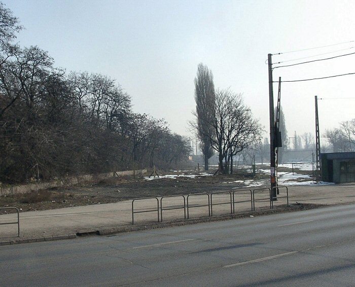
You'll see a couple of bomb-sites and empty parcels on the eastern side of Soroksári út. Remember, this used to be an industrial area until a few years ago! To the right: the stop Milleniumi Kulturális Központ (formerly Vágóhíd utca).
Hint: if you have a good
zoom on your camera, you should take the steps and walk up onto Lágymányosi/Rákóczi
híd (Lágymányos/Rákóczi bridge). You can take nice above views from
there.
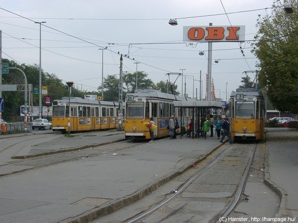
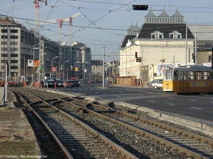
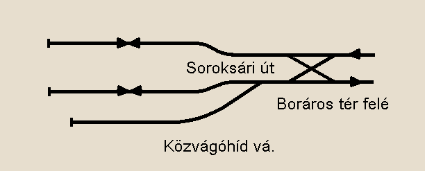
The three-track stub terminus
of routes 2 and 24
"Közvágóhíd" means "Central Abattoir" - another clue to the once so strong food industry (mainly slaughter-houses and flour-mills) around here. This place has changed when the new Lágymányosi bridge was built, but it's still where the traffic from south (mainly the Ráckeve HÉV service) meets the lines (tram routes 2 and 24) that bring people into the inner city. Ironically enough, the extension of the Ráckeve HÉV service into the inner city is planned since about 120 years :-/
Layout drawing by Balázs
Fejes
The tram terminus has three tracks and is sometimes pretty chaotic in peak hours, when more tramcars use the same track (mainly one track is for route 24, the other is for route 2, while the third one is for reserve and broken-down vehicles). The dispatcher must keep an eye on which tram goes where, otherwise he/she is in trouble, and the sequence of the courses gets mixed up.
->
Link to route 1 near Közvágóhíd
-> Over to route
24
![]()
Back to the
top
Back
to the opening page
Back
to the clickable map
Disclaimer: The author cannot be held responsible for mistakes, misinterpretations, inaccuracies, inactualities, etc. on/of these pages, nor for the content of other pages linked in