Latest update: 3. June, 2008.
The outer section of route 41
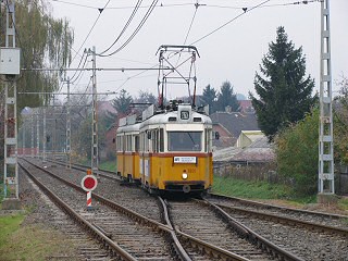
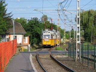
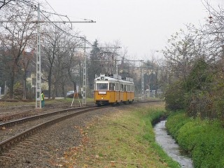
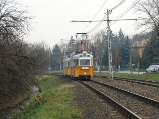
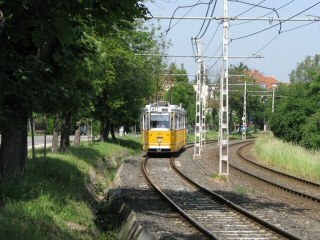
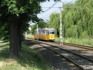
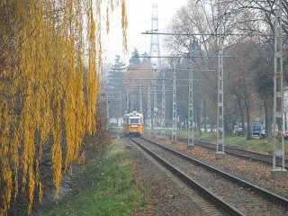
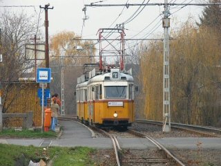
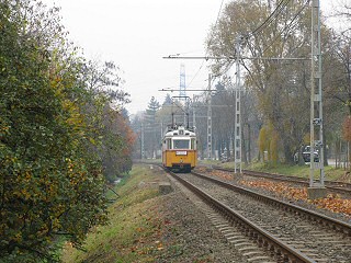
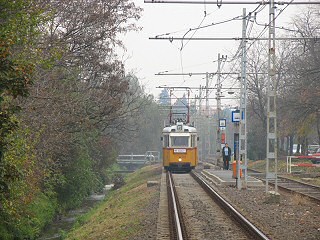
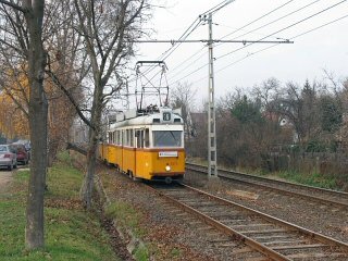
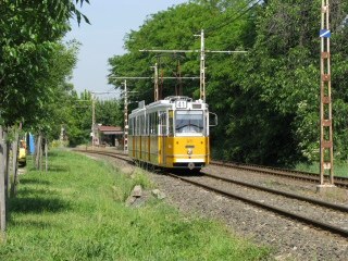
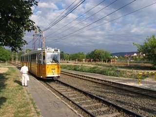
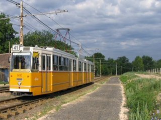
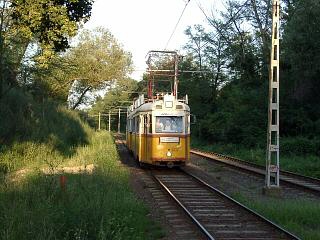
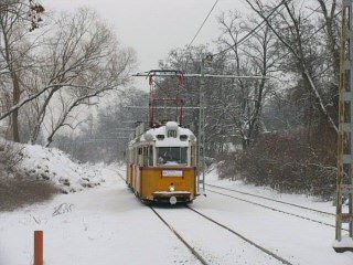
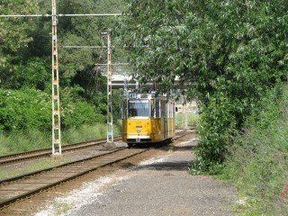
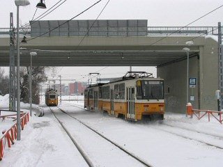
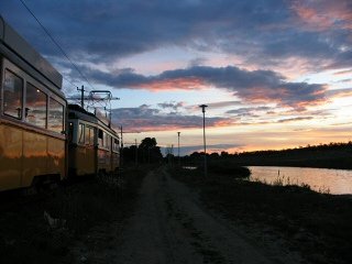
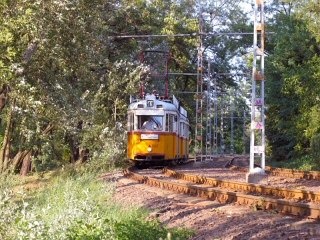
I must confess that this is one of my all-time favorite tram places. Although it has changed quite much in the last few years, it's still a very relaxing stretch, a place where I often go to, just to have a bit of "active leisure" by walking along the tracks and taking a few photos meanwhile. Watching the sun go down at the small lake in Kőérberek, while having a chat with friends is almost like a small holiday within an hour :)
This stretch was once part of the HÉV (suburban railway) line to Budaörs and Törökbálint. It was one of the HÉV lines with a tramway-like character. In fact, the line was complete before the operator received new vehicles for it, so between 1914 and 1920, it was operated with 1000-series trams (Type "V") on loan from BKVT. This is interesting because the remaining stretch of this HÉV line, route 41 was the last place where the 1000-series ran (until 1984)!
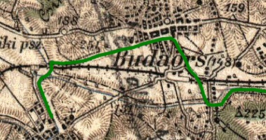
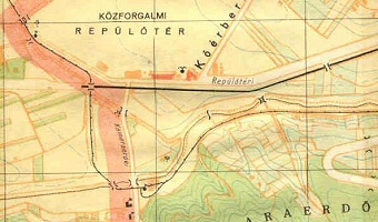
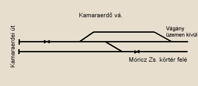
The line ran an unfortunately devious way to Budaörs and Törökbálint, so in just a few years it became underutilised because of the new motor bus lines reaching these places in a much shorter time. The above maps show the now non-existing stretch: today's terminus is where you can see a reversing loop at the downmost point of the line representing the HÉV. During and after WW2, the reversing loop and the second track outwards of Kamaraerdő were lifted (they were needed elsewhere more badly), making the service even slower. The line was then cut near the Budaörs railway station in 1962, when the service was converted to a normal tramway line.
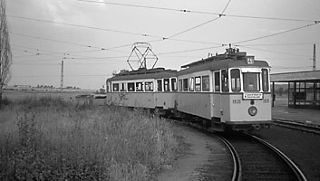
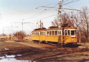
Archive photos by Tim Boric and
Harald Schachenhofer
The new terminus was a spacious one with a double-track reverse loop (left), but this could not change the sad fact that the southermost parts of Budaörs were located on the opposite site of the M7 speedway, thus making the tram an inefficient way reaching this village. In 1977 the tram was cut back to the border of Budapest. The place we can see on the photo to the right is the same place where the line now ends, but of course it looks very different now, with the vicinity being more densely built in - and of course you cannot see the tracks and overhead posts in the distance anymore.
The facts about route 41 can be found here. And the usual disclaimer: although the line is now operated with Ganz articulated cars, on many of the photos you will see UVs.
Here's a Google Maps
overview of this strech:
Enlarge
map
![]()
This is where we leave tram 56 at Budafoki elágazás, and change course via a large curve.
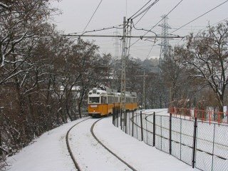
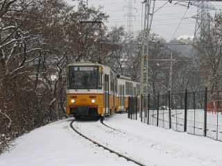
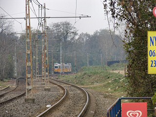
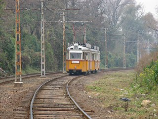
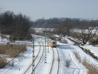
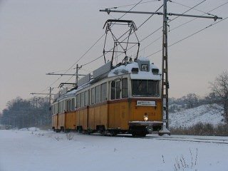
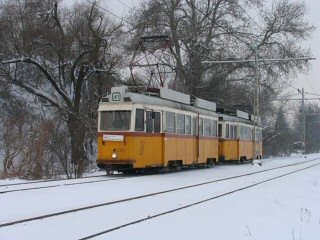
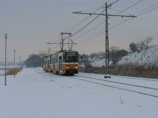
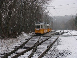
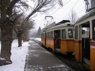
This bend is not easily photographable when the sun shines, that's why I'm including two winter images :) The photo on the right deserves a little explanation: the stretch to Kamaraerdő also serves as the test site for remise Budafok after repairs.
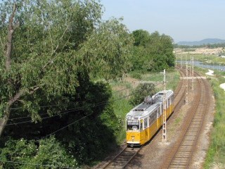
After the bend the tracks align to the brooklet Hosszú-réti patak, also called Kő-ér. There's a crossover underway, used only during track maintenance works (left). The first stop is Rózsavölgy alsó, best photographable in the afternoon.
Along Ady Endre út (Rózsavölgy)
From here we join Ady Endre út, but we remain on a reserved right-of-way.
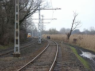
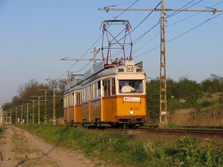
This is a quiet village, and the bends before the next stop - Rózsavölgy felső - are best suited for photos. But for heaven's sake, please make sure you remain out of the clearance of the tram, and also don't fall into the brooklet! :)
These two photos were taken in the morning, showing the tracks from the other side.
Then comes a straight section, ..
... followed by a small bend, and then another straight section. The stop Pék utca is a strange one being the only middle-platform stop here (right).
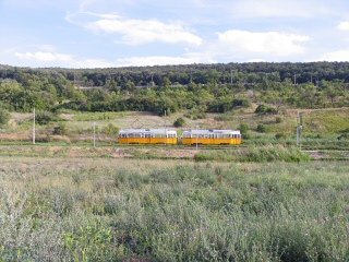
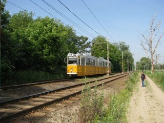
Because of the bucolic neighbourhood, the line has different looks in every season.
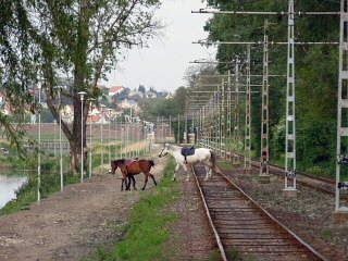
The stop Kelenvölgy was where the HÉV once entered Budapest again, with the stretch between here and Kondorosi út belonging to Albertfalva and Budafok. Until about 7-8 years ago this was scrubland, now it's occupied by a small ranch with horses. The strip along the tracks is for the horses - if you catch it being "used", with a tram in the background, then you have a quite unique tram photo.
After the stop there's another crossover.
Some of the tracks on this section date back to the early 1960s, and they haven't been realigned for ages, so the ride is rough - but the clinking of the bogies on the unwelded tracks turn the tram into a small historic railway.
The shrubbery and woods are on the withdrawal from here, too, but as for now, this is still a piece of an "overland" tramway.
We soon arrive to the stop Balatoni út, where the old road to lake Balaton passes over the tram on a flyover.
To the left: this is how the place looked like until 2002. The bush and the reed to the left of the tracks disappeared, so I tend to concentrate on the left when taking photos from the flyover.
Two photos of what you cannot see anymore. Boy, was this a real special place!
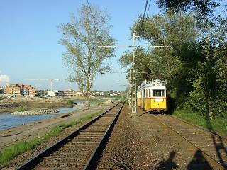
And this is how the vicinity now looks. The brooklet was turned into a small lake by a series of dams on the site of the reed, with a new housing area being built on the other side. Unfortunately the area is developing slower than expected, so the vicinity looks somewhat incomplete (the photo on the right shows an earlier stage of the works, it looks better now).
Nevertheless it's still exciting, only in a different way! And believe me: the pathway for the horses is a much better tramspotting place then the reed used to be! :)
A short video of UV double-sets meeting by the lakeside.
The line received a new stop (left) at the housing area, which brought a number of new passengers - and this secured the survival of tram 41. Near the stop is a footbridge over the lake, which is a good observation point (right).
The change of seasons.
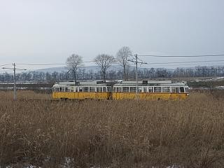
In the winter, this magnificent line becomes even more wonderful!
To the left: the hillside in the foreground will be built in later (or at least this is how it was planned), but as for now, we can still enjoy the "tram in nature" atmosphere (right).
Remark: Don't be surprised to see homeless people living in tents in the woods, or fishing along the lakeside.
The next stop is Fülőke utca (left), which used to be on the verge of a crofts area, but the small weekend booths are changing into proper houses nowadays. The other side of the brooklet is occupied by a former military housing area (flats for officers - right).
The stop Repülőtér was originally built to cater Budaörs airport ("repülőtér" means "airfield"), Budapest's international airport between 1937 and 1950. This airfield now only serves general aviation purposes, so you will very likely see some small aircrafts or helicopters landing or taking off.
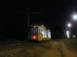
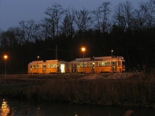
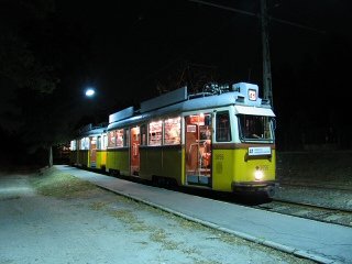
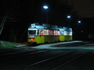
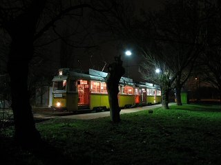
Two photos of this stop on the last night of the UVs on route 41. As you can guess by the looks of this stop, not many people arrive to the airfield by tram :)
One side of the tracks is occupied by a forest, the other by a former military depot, but then we leave civilisation, and run through the woods for the last few hundred meters. And then we arrive to the terminus:
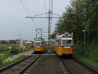
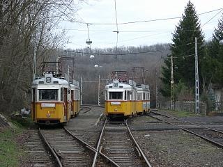
You can see that this terminus was built for heavier traffic, and the old station building for the HÉV is also still there behind the pines.
Only one track is used from the former through - and now stub - tracks, but the third track was taken back into usage in 2003. This way one tram can overtake the other while it takes a pause.
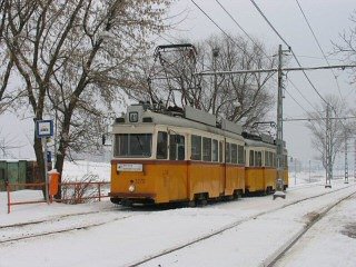
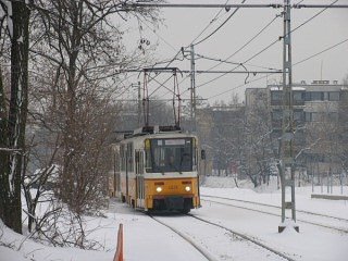
As I said, I like this route especially in snow, ...
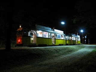
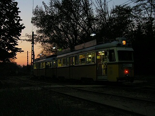
... but also in the dark. Of course I love it under all circumstances - I hope you did not mind this page being more personal than factual :)
I'd like to conclude this "pictorial" with a small video of a UV arriving to the terminus.
![]()
Back to the top
Back to the
opening page
Back
to the clickable map
Disclaimer: The author cannot
be held responsible for mistakes, misinterpretations, inaccuracies, inactualities,
etc. on/of these pages, nor for the content of other pages linked in.
Archive photos, maps: from the
collections of Dr. Zoltán Ádám Németh and Zsolt Levente Nagy + Tim Boric,
Harald Schachenhofer
Track layout drawing: Fejes Balázs
![]()
Send
a mail to the author
The
author's homepage
